Area Overview for OX18 2EG
Photos of OX18 2EG
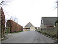
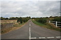

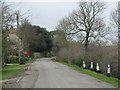

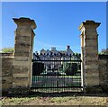
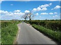


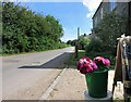
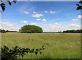
11 photos from this area
Area Information
Key information about the OX18 2EG including its size, population, and administrative classification.
- Area Type
- Postcode
- Area Size
- 4.4 km²
- Population
- 1497
- Population Density
- 61 people/km²
House Prices in OX18 2EG
54
Properties
£679,722
Average Sold Price
£160,000
Lowest Price
£1,800,000
Highest Price
Showing 54 properties
| Address | Type | Beds | Baths | Last Sale Price | Last Sale Date | |
|---|---|---|---|---|---|---|
| Willow Farm, Road From Cote To Aston, Cote, Bampton, OX18 2EG | house | - | - | £1,800,000 | Dec 2023 | |
| Ashcroft House, Road From Cote To Aston, Cote, Bampton, OX18 2EG | Detached | - | - | £1,000,000 | Nov 2021 | |
| Crossways Cottage, Road From Cote To Aston, Cote, Bampton, OX18 2EG | Detached | 4 | 2 | £427,000 | Jun 2017 | |
| Blythehale, Main Road, Cote, Bampton, OX18 2EG | Detached | 4 | - | £376,500 | Sep 2012 | |
| Stratford House, Main Road, Cote, Bampton, OX18 2EG | house | - | - | £650,000 | Sep 2007 | |
| Cote Farm Barn, Main Road, Cote, Bampton, OX18 2EG | Terraced | - | - | £615,000 | Jul 2005 | |
| Milton Lodge, Main Road, Cote, Bampton, OX18 2EG | Detached | - | - | £775,000 | Sep 2000 | |
| Moss Rose Cottage, Main Road, Cote, Bampton, OX18 2EG | Cottage | 3 | 1 | £160,000 | Sep 1999 | |
| Danielwood, Main Road, Cote, Bampton, OX18 2EG | Detached | 4 | 3 | £314,000 | Apr 1998 | |
| Wayside House, Main Road, Cote, Bampton, OX18 2EG | Mobile Home | 3 | 1 | - | - |
Page 1 of 6
Energy Efficiency in OX18 2EG
Amenities
Schools
| Rank | School | Type | Entry gender | Ages |
|---|
Explore more schools in this area
Go to Schools tabDemographics
Household Size
Two person
most common
Accommodation Type
Houses
most common
Tenure
79
majority
Ethnic Group
White
most common
Religion
N/A
most common
Household Composition
N/A
most common
Age
47
median
Adults (30-64 years)
most common
Household Deprivation
N/A
with no deprivation
NS-SEC
44
in Lower managerial occupations
Explore more demographic insights in this area
Go to Demographics tabPlanning
Planning Constraints
- Flood RiskPremium
- Ramsar Wetland SitesPremium
- Area of Outstanding Natural BeautyPremium
- Protected Nature ReservePremium
- Protected WoodlandPremium