Area Overview for OX16 9BE
Photos of OX16 9BE
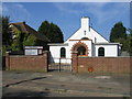
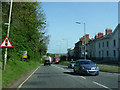
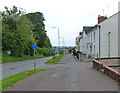
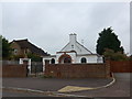
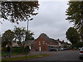
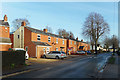
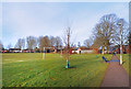
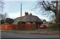
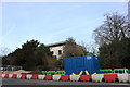
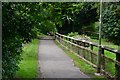
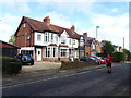
97 photos from this area
Area Information
Key information about the OX16 9BE including its size, population, and administrative classification.
- Area Type
- Postcode
- Area Size
- 2.9 hectares
- Population
- 1076
- Population Density
- 3123 people/km²
House Prices in OX16 9BE
27
Properties
£530,825
Average Sold Price
£415,000
Lowest Price
£850,000
Highest Price
Showing 27 properties
| Address | Type | Beds | Baths | Last Sale Price | Last Sale Date | |
|---|---|---|---|---|---|---|
| 2, Park Vale, Hightown Road, Banbury, OX16 9BE | house | - | - | £560,000 | Dec 2019 | |
| 55 Hightown Road, Banbury, OX16 9BE | house | - | - | £850,000 | Aug 2019 | |
| 1, Park Vale, Hightown Road, Banbury, OX16 9BE | Detached | 5 | 3 | £455,000 | Nov 2015 | |
| 51 Hightown Road, Banbury, OX16 9BE | Bungalow | - | - | £450,000 | Jun 2015 | |
| 3, Park Vale, Hightown Road, Banbury, OX16 9BE | Detached | 4 | 2 | £454,950 | Sep 2010 | |
| 49 Hightown Road, Banbury, OX16 9BE | Land | 4 | 4 | £415,000 | Aug 2008 | |
| 45 Hightown Road, Banbury, OX16 9BE | Detached | 2 | 1 | - | - | |
| Southlands, 61 Hightown Road, Banbury, OX16 9BE | Detached | 5 | 3 | - | - | |
| The Hollies, Rockholme, 59 Hightown Road, Banbury, OX16 9BE | Detached | 5 | 3 | - | - | |
| The Coach House 1, 61 Hightown Road, Banbury, OX16 9BE | Detached | 4 | 3 | - | - |
Page 1 of 3
Energy Efficiency in OX16 9BE
Amenities
Schools
| Rank | School | Type | Entry gender | Ages |
|---|
Explore more schools in this area
Go to Schools tabDemographics
Household Size
One person
most common
Accommodation Type
Houses
most common
Tenure
70
majority
Ethnic Group
White
most common
Religion
N/A
most common
Household Composition
N/A
most common
Age
47
median
Adults (30-64 years)
most common
Household Deprivation
N/A
with no deprivation
NS-SEC
36
in Lower managerial occupations
Explore more demographic insights in this area
Go to Demographics tabPlanning
Planning Constraints
- Flood RiskPremium
- Ramsar Wetland SitesPremium
- Area of Outstanding Natural BeautyPremium
- Protected Nature ReservePremium
- Protected WoodlandPremium