Area Overview for OX10 7DY
Photos of OX10 7DY

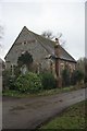

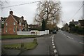
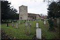

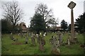
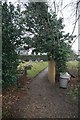
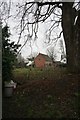
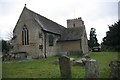
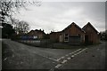
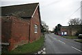
100 photos from this area
Area Information
Key information about the OX10 7DY including its size, population, and administrative classification.
- Area Type
- Postcode
- Area Size
- 26.4 hectares
- Population
- 1679
- Population Density
- 170 people/km²
House Prices in OX10 7DY
12
Properties
£627,997
Average Sold Price
£209,250
Lowest Price
£900,000
Highest Price
Showing 12 properties
| Address | Type | Beds | Baths | Last Sale Price | Last Sale Date | |
|---|---|---|---|---|---|---|
| Homefield, 19 Green Lane, Warborough, Wallingford, OX10 7DY | Bungalow | - | - | £900,000 | Jul 2021 | |
| 2 Green Lane, Warborough, Wallingford, OX10 7DY | Cottage | 3 | 1 | £280,000 | Nov 2020 | |
| Little Orchard, 20 Green Lane, Warborough, Wallingford, OX10 7DY | Detached | 4 | 2 | £880,000 | Nov 2017 | |
| 3 Green Lane, Warborough, Wallingford, OX10 7DY | Detached | 5 | 1 | £762,550 | Feb 2016 | |
| The Old Malthouse, 14 Green Lane, Warborough, Wallingford, OX10 7DY | Detached | 4 | - | £775,000 | Sep 2014 | |
| 5 Green Lane, Warborough, Wallingford, OX10 7DY | house | - | - | £432,177 | Dec 2012 | |
| 16 Green Lane, Warborough, Wallingford, OX10 7DY | Detached | 4 | 3 | £785,000 | Oct 2011 | |
| 1A Green Lane, Warborough, Wallingford, OX10 7DY | house | - | - | £209,250 | Jan 1997 | |
| 1 Green Lane, Warborough, Wallingford, OX10 7DY | Detached | 4 | 2 | - | - | |
| 4 Green Lane, Warborough, Wallingford, OX10 7DY | house | - | - | - | - |
Page 1 of 2
Energy Efficiency in OX10 7DY
Amenities
Schools
| Rank | School | Type | Entry gender | Ages |
|---|
Explore more schools in this area
Go to Schools tabDemographics
Household Size
Two person
most common
Accommodation Type
Houses
most common
Tenure
79
majority
Ethnic Group
White
most common
Religion
N/A
most common
Household Composition
N/A
most common
Age
47
median
Adults (30-64 years)
most common
Household Deprivation
N/A
with no deprivation
NS-SEC
53
in Lower managerial occupations
Explore more demographic insights in this area
Go to Demographics tabPlanning
Planning Constraints
- Flood RiskPremium
- Ramsar Wetland SitesPremium
- Area of Outstanding Natural BeautyPremium
- Protected Nature ReservePremium
- Protected WoodlandPremium