Area Overview for OX10 0LX
Photos of OX10 0LX
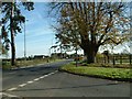
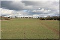
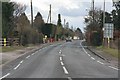
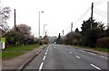
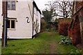
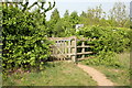
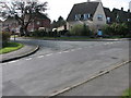
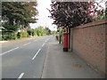
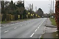
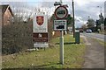
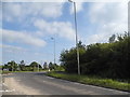
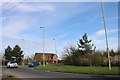
66 photos from this area
Area Information
Key information about the OX10 0LX including its size, population, and administrative classification.
- Area Type
- Postcode
- Area Size
- 13.6 hectares
- Population
- 1339
- Population Density
- 1465 people/km²
House Prices in OX10 0LX
22
Properties
£493,758
Average Sold Price
£265,000
Lowest Price
£1,000,000
Highest Price
Showing 22 properties
| Address | Type | Beds | Baths | Last Sale Price | Last Sale Date | |
|---|---|---|---|---|---|---|
| 110 Wantage Road, Wallingford, OX10 0LX | Semi-detached | 3 | 1 | £500,000 | Feb 2025 | |
| 88 Wantage Road, Wallingford, OX10 0LX | Detached | 4 | 1 | £824,100 | Mar 2022 | |
| 88A Wantage Road, Wallingford, OX10 0LX | Detached | 4 | - | £905,000 | Jun 2021 | |
| 102 Wantage Road, Wallingford, OX10 0LX | Detached | 4 | 1 | £1,000,000 | Apr 2016 | |
| 126 Wantage Road, Wallingford, OX10 0LX | house | - | - | £497,000 | Jul 2014 | |
| 116 Wantage Road, Wallingford, OX10 0LX | house | - | - | £415,000 | Aug 2010 | |
| 98 Wantage Road, Wallingford, OX10 0LX | Semi-detached | - | - | £395,000 | Apr 2008 | |
| 108 Wantage Road, Wallingford, OX10 0LX | Semi-detached | - | - | £275,000 | May 2005 | |
| 106 Wantage Road, Wallingford, OX10 0LX | Semi-detached | 3 | 1 | £280,000 | Nov 2003 | |
| 114 Wantage Road, Wallingford, OX10 0LX | Semi-detached | 4 | 1 | £274,000 | Apr 2003 |
Page 1 of 3
Energy Efficiency in OX10 0LX
Amenities
Schools
| Rank | School | Type | Entry gender | Ages |
|---|
Explore more schools in this area
Go to Schools tabDemographics
Household Size
Two person
most common
Accommodation Type
Houses
most common
Tenure
83
majority
Ethnic Group
White
most common
Religion
N/A
most common
Household Composition
N/A
most common
Age
47
median
Adults (30-64 years)
most common
Household Deprivation
N/A
with no deprivation
NS-SEC
47
in Lower managerial occupations
Explore more demographic insights in this area
Go to Demographics tabPlanning
Planning Constraints
- Flood RiskPremium
- Ramsar Wetland SitesPremium
- Area of Outstanding Natural BeautyPremium
- Protected Nature ReservePremium
- Protected WoodlandPremium