Area Overview for OX10 0LU
Photos of OX10 0LU
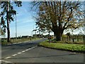
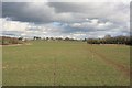
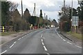
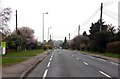
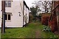
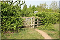
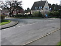
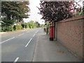
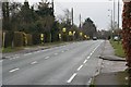
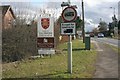
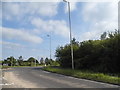
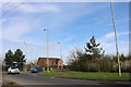
66 photos from this area
Area Information
Key information about the OX10 0LU including its size, population, and administrative classification.
- Area Type
- Postcode
- Area Size
- 9.2 hectares
- Population
- 1339
- Population Density
- 1465 people/km²
House Prices in OX10 0LU
11
Properties
£481,250
Average Sold Price
£180,000
Lowest Price
£815,000
Highest Price
Showing 11 properties
| Address | Type | Beds | Baths | Last Sale Price | Last Sale Date | |
|---|---|---|---|---|---|---|
| 132 Wantage Road, Wallingford, OX10 0LU | house | 4 | - | £815,000 | Mar 2021 | |
| 146 Wantage Road, Wallingford, OX10 0LU | Semi-detached | 5 | 3 | £480,000 | Aug 2013 | |
| 130 Wantage Road, Wallingford, OX10 0LU | Detached | - | - | £450,000 | Sep 2008 | |
| 140A Wantage Road, Wallingford, OX10 0LU | Detached | 4 | 2 | £180,000 | May 1997 | |
| Almond Tree Cottage, 134 Wantage Road, Wallingford, OX10 0LU | Detached | 4 | 2 | - | - | |
| 142 Wantage Road, Wallingford, OX10 0LU | Detached | 4 | 1 | - | - | |
| Rose Gardens, 144 Wantage Road, Wallingford, OX10 0LU | house | 5 | - | - | - | |
| 142A Wantage Road, Wallingford, OX10 0LU | Farm | - | - | - | - | |
| 138 Wantage Road, Wallingford, OX10 0LU | Semi-detached | - | - | - | - | |
| 136 Wantage Road, Wallingford, OX10 0LU | Detached | - | - | - | - |
Page 1 of 2
Energy Efficiency in OX10 0LU
Amenities
Schools
| Rank | School | Type | Entry gender | Ages |
|---|
Explore more schools in this area
Go to Schools tabDemographics
Household Size
Two person
most common
Accommodation Type
Houses
most common
Tenure
83
majority
Ethnic Group
White
most common
Religion
N/A
most common
Household Composition
N/A
most common
Age
47
median
Adults (30-64 years)
most common
Household Deprivation
N/A
with no deprivation
NS-SEC
47
in Lower managerial occupations
Explore more demographic insights in this area
Go to Demographics tabPlanning
Planning Constraints
- Flood RiskPremium
- Ramsar Wetland SitesPremium
- Area of Outstanding Natural BeautyPremium
- Protected Nature ReservePremium
- Protected WoodlandPremium