Area Overview for OX1 2HG
Photos of OX1 2HG
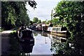

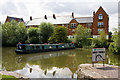

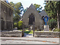
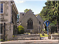
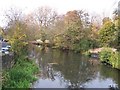
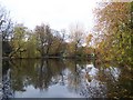


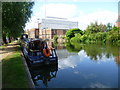
100 photos from this area
Area Information
Key information about the OX1 2HG including its size, population, and administrative classification.
- Area Type
- Postcode
- Area Size
- 6408 m²
- Population
- 1692
- Population Density
- 2540 people/km²
House Prices in OX1 2HG
41
Properties
£1,068,000
Average Sold Price
£265,000
Lowest Price
£1,825,000
Highest Price
Showing 41 properties
| Address | Type | Beds | Baths | Last Sale Price | Last Sale Date | |
|---|---|---|---|---|---|---|
| 151A Walton Street, Oxford, OX1 2HG | house | 2 | 1 | £559,000 | Jul 2023 | |
| 15 Walton Street, Oxford, OX1 2HG | house | 3 | - | £1,660,000 | Jan 2022 | |
| 10 Walton Street, Oxford, OX1 2HG | Semi-detached | 5 | 5 | £1,100,000 | Oct 2017 | |
| 9 Walton Street, Oxford, OX1 2HG | Semi-detached | 4 | 2 | £1,150,000 | Oct 2016 | |
| 14 Walton Street, Oxford, OX1 2HG | house | 5 | - | £1,825,000 | Nov 2014 | |
| 12 Walton Street, Oxford, OX1 2HG | house | - | - | £1,400,000 | Dec 2012 | |
| 6 Walton Street, Oxford, OX1 2HG | Terraced | - | - | £585,000 | Oct 2001 | |
| 8 Walton Street, Oxford, OX1 2HG | Terraced | - | - | £265,000 | May 1997 | |
| Garden Flat At 10, Walton Street, Oxford, OX1 2HG | Semi-detached | 5 | 5 | - | - | |
| Flat, 151 Walton Street, Oxford, OX1 2HG | Flat | - | - | - | - |
Page 1 of 5
Energy Efficiency in OX1 2HG
Amenities
Schools
| Rank | School | Type | Entry gender | Ages |
|---|
Explore more schools in this area
Go to Schools tabDemographics
Household Size
Two person
most common
Accommodation Type
Houses
most common
Tenure
34
majority
Ethnic Group
White
most common
Religion
N/A
most common
Household Composition
N/A
most common
Age
22
median
Young Adults (15-29 years)
most common
Household Deprivation
N/A
with no deprivation
NS-SEC
32
in Lower managerial occupations
Explore more demographic insights in this area
Go to Demographics tabPlanning
Planning Constraints
- Flood RiskPremium
- Ramsar Wetland SitesPremium
- Area of Outstanding Natural BeautyPremium
- Protected Nature ReservePremium
- Protected WoodlandPremium