Area Overview for MK46 5FE
Photos of MK46 5FE
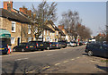
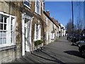
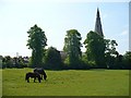

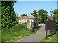
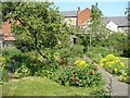
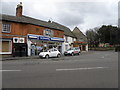
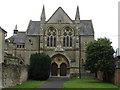


98 photos from this area
Area Information
Key information about the MK46 5FE including its size, population, and administrative classification.
- Area Type
- Postcode
- Area Size
- 1.5 hectares
- Population
- 1907
- Population Density
- 102 people/km²
House Prices in MK46 5FE
46
Properties
£312,457
Average Sold Price
£228,000
Lowest Price
£545,000
Highest Price
Showing 46 properties
| Address | Type | Beds | Baths | Last Sale Price | Last Sale Date | |
|---|---|---|---|---|---|---|
| 32 Chantry Rise, Olney, MK46 5FE | house | 3 | 2 | £375,000 | Mar 2025 | |
| 36 Chantry Rise, Olney, MK46 5FE | Terraced | 3 | 2 | £390,000 | Sep 2023 | |
| 10 Chantry Rise, Olney, MK46 5FE | Detached | 4 | 2 | £545,000 | Jul 2023 | |
| 12 Chantry Rise, Olney, MK46 5FE | Detached | 5 | - | £515,000 | Jun 2021 | |
| 15 Chantry Rise, Olney, MK46 5FE | Semi-detached | 4 | - | £472,000 | Apr 2021 | |
| 44 Chantry Rise, Olney, MK46 5FE | Terraced | 3 | - | £367,500 | Feb 2021 | |
| 17 Chantry Rise, Olney, MK46 5FE | Detached | 4 | 2 | £477,500 | Jul 2020 | |
| 33 Chantry Rise, Olney, MK46 5FE | house | - | - | £330,000 | Sep 2019 | |
| 20 Chantry Rise, Olney, MK46 5FE | house | 4 | - | £435,000 | Oct 2018 | |
| 11 Chantry Rise, Olney, MK46 5FE | Semi-detached | 3 | - | £290,000 | Aug 2018 |
Page 1 of 5
Energy Efficiency in MK46 5FE
Amenities
Schools
| Rank | School | Type | Entry gender | Ages |
|---|
Explore more schools in this area
Go to Schools tabDemographics
Household Size
Two person
most common
Accommodation Type
Houses
most common
Tenure
70
majority
Ethnic Group
White
most common
Religion
N/A
most common
Household Composition
N/A
most common
Age
47
median
Adults (30-64 years)
most common
Household Deprivation
N/A
with no deprivation
NS-SEC
44
in Lower managerial occupations
Explore more demographic insights in this area
Go to Demographics tabPlanning
Planning Constraints
- Flood RiskPremium
- Ramsar Wetland SitesPremium
- Area of Outstanding Natural BeautyPremium
- Protected Nature ReservePremium
- Protected WoodlandPremium