Area Overview for MK46 5FD
Photos of MK46 5FD

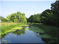
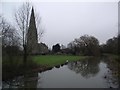
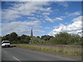
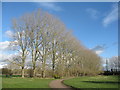
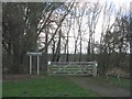
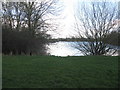
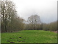
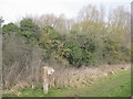
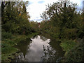
38 photos from this area
Area Information
Key information about the MK46 5FD including its size, population, and administrative classification.
- Area Type
- Postcode
- Area Size
- 36.5 hectares
- Population
- 1313
- Population Density
- 56 people/km²
House Prices in MK46 5FD
12
Properties
£236,834
Average Sold Price
£156,702
Lowest Price
£370,000
Highest Price
Showing 12 properties
| Address | Type | Beds | Baths | Last Sale Price | Last Sale Date | |
|---|---|---|---|---|---|---|
| 17 Wagstaff Way, Olney, MK46 5FD | Flat | - | - | £227,000 | Mar 2024 | |
| 9 Wagstaff Way, Olney, MK46 5FD | house | - | - | £250,000 | Dec 2022 | |
| 3 Wagstaff Way, Olney, MK46 5FD | Terraced | 3 | 1 | £370,000 | Sep 2021 | |
| 15 Wagstaff Way, Olney, MK46 5FD | Flat | - | - | £218,000 | Apr 2021 | |
| 21 Wagstaff Way, Olney, MK46 5FD | Flat | 2 | 1 | £212,500 | Jun 2018 | |
| 19 Wagstaff Way, Olney, MK46 5FD | Flat | - | - | £205,000 | Feb 2016 | |
| 13 Wagstaff Way, Olney, MK46 5FD | Flat | - | - | £199,950 | Jul 2007 | |
| 23 Wagstaff Way, Olney, MK46 5FD | Flat | - | - | £201,950 | Jun 2007 | |
| 1 Wagstaff Way, Olney, MK46 5FD | Semi-detached | 3 | 2 | £235,000 | Jun 2007 | |
| 5 Wagstaff Way, Olney, MK46 5FD | Terraced | - | - | £286,950 | May 2007 |
Page 1 of 2
Energy Efficiency in MK46 5FD
Amenities
Schools
| Rank | School | Type | Entry gender | Ages |
|---|
Explore more schools in this area
Go to Schools tabDemographics
Household Size
Two person
most common
Accommodation Type
Houses
most common
Tenure
74
majority
Ethnic Group
White
most common
Religion
N/A
most common
Household Composition
N/A
most common
Age
47
median
Adults (30-64 years)
most common
Household Deprivation
N/A
with no deprivation
NS-SEC
43
in Lower managerial occupations
Explore more demographic insights in this area
Go to Demographics tabPlanning
Planning Constraints
- Flood RiskPremium
- Ramsar Wetland SitesPremium
- Area of Outstanding Natural BeautyPremium
- Protected Nature ReservePremium
- Protected WoodlandPremium