Area Overview for MK19 7DT
Photos of MK19 7DT
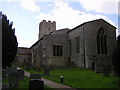
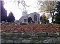
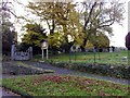
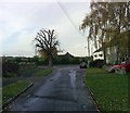
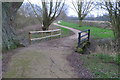
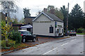
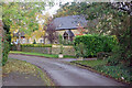
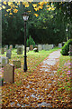
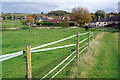
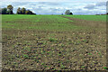
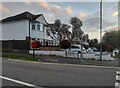
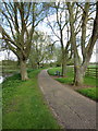
18 photos from this area
Area Information
Key information about the MK19 7DT including its size, population, and administrative classification.
- Area Type
- Postcode
- Area Size
- 1.0 km²
- Population
- 1556
- Population Density
- 150 people/km²
House Prices in MK19 7DT
9
Properties
£451,667
Average Sold Price
£200,000
Lowest Price
£675,000
Highest Price
Showing 9 properties
| Address | Type | Beds | Baths | Last Sale Price | Last Sale Date | |
|---|---|---|---|---|---|---|
| The Old Rectory, High Street, Haversham, MK19 7DT | Detached | - | - | £480,000 | Sep 2020 | |
| The Old Forge, High Street, Haversham, MK19 7DT | house | - | - | £675,000 | Mar 2016 | |
| Old School House, High Street, Haversham, MK19 7DT | house | 4 | - | £200,000 | Feb 1998 | |
| Woodpecker Cottage, High Street, Haversham, MK19 7DT | Detached | 4 | 3 | - | - | |
| Haversham Manor Farm, High Street, Haversham, MK19 7DT | Detached | 3 | - | - | - | |
| Rectory, High Street, Haversham, MK19 7DT | house | - | - | - | - | |
| Frontline Business Services Ltd, The Barn, Haversham Manor Farm, High Street, Haversham, MK19 7DT | Industrial | - | - | - | - | |
| Conker Cottage, High Street, Haversham, MK19 7DT | house | - | - | - | - | |
| Flat At, 2 High Street, Haversham, MK19 7DT | Flat | - | - | - | - |
Energy Efficiency in MK19 7DT
Amenities
Schools
| Rank | School | Type | Entry gender | Ages |
|---|
Explore more schools in this area
Go to Schools tabDemographics
Household Size
Family (3-5 people)
most common
Accommodation Type
Houses
most common
Tenure
67
majority
Ethnic Group
White
most common
Religion
N/A
most common
Household Composition
N/A
most common
Age
47
median
Adults (30-64 years)
most common
Household Deprivation
N/A
with no deprivation
NS-SEC
47
in Lower managerial occupations
Explore more demographic insights in this area
Go to Demographics tabPlanning
Planning Constraints
- Flood RiskPremium
- Ramsar Wetland SitesPremium
- Area of Outstanding Natural BeautyPremium
- Protected Nature ReservePremium
- Protected WoodlandPremium