Area Overview for ME9 8UY
Photos of ME9 8UY


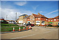
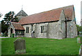
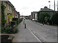
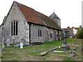
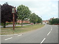
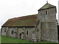

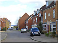
53 photos from this area
Area Information
Key information about the ME9 8UY including its size, population, and administrative classification.
- Area Type
- Postcode
- Area Size
- 4079 m²
- Population
- 1937
- Population Density
- 196 people/km²
House Prices in ME9 8UY
18
Properties
£219,764
Average Sold Price
£149,995
Lowest Price
£315,000
Highest Price
Showing 18 properties
| Address | Type | Beds | Baths | Last Sale Price | Last Sale Date | |
|---|---|---|---|---|---|---|
| 3, Plantation Court, Ferry Road, Iwade, ME9 8UY | Terraced | 3 | 2 | £315,000 | Apr 2023 | |
| 5, Plantation Court, Ferry Road, Iwade, ME9 8UY | house | 3 | - | £265,000 | Feb 2021 | |
| 8, Plantation Court, Ferry Road, Iwade, ME9 8UY | Terraced | 3 | 1 | £260,000 | Nov 2020 | |
| 15, Plantation Court, Ferry Road, Iwade, ME9 8UY | Terraced | 4 | 2 | £260,000 | Apr 2019 | |
| 13, Plantation Court, Ferry Road, Iwade, ME9 8UY | Semi-detached | 4 | 3 | £277,000 | Aug 2018 | |
| 12, Plantation Court, Ferry Road, Iwade, ME9 8UY | Terraced | 4 | - | £240,000 | Jun 2016 | |
| 9, Plantation Court, Ferry Road, Iwade, ME9 8UY | Semi-detached | 3 | 2 | £227,000 | Mar 2016 | |
| 4, Plantation Court, Ferry Road, Iwade, ME9 8UY | Semi-detached | 3 | 2 | £222,000 | Feb 2016 | |
| 18, Plantation Court, Ferry Road, Iwade, ME9 8UY | house | - | - | £237,000 | Oct 2015 | |
| 17, Plantation Court, Ferry Road, Iwade, ME9 8UY | Terraced | 4 | 2 | £183,000 | Sep 2013 |
Page 1 of 2
Energy Efficiency in ME9 8UY
Amenities
Schools
| Rank | School | Type | Entry gender | Ages |
|---|
Explore more schools in this area
Go to Schools tabDemographics
Household Size
Family (3-5 people)
most common
Accommodation Type
Houses
most common
Tenure
82
majority
Ethnic Group
White
most common
Religion
N/A
most common
Household Composition
N/A
most common
Age
47
median
Adults (30-64 years)
most common
Household Deprivation
N/A
with no deprivation
NS-SEC
40
in Lower managerial occupations
Explore more demographic insights in this area
Go to Demographics tabPlanning
Planning Constraints
- Flood RiskPremium
- Ramsar Wetland SitesPremium
- Area of Outstanding Natural BeautyPremium
- Protected Nature ReservePremium
- Protected WoodlandPremium