Area Overview for ME8 9RH
Photos of ME8 9RH


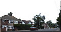

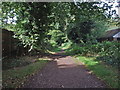

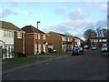
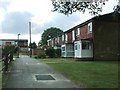
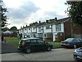
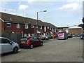
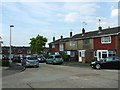
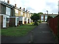
64 photos from this area
Area Information
Key information about the ME8 9RH including its size, population, and administrative classification.
- Area Type
- Postcode
- Area Size
- 8540 m²
- Population
- 1533
- Population Density
- 7124 people/km²
House Prices in ME8 9RH
36
Properties
£178,028
Average Sold Price
£43,500
Lowest Price
£325,000
Highest Price
Showing 36 properties
| Address | Type | Beds | Baths | Last Sale Price | Last Sale Date | |
|---|---|---|---|---|---|---|
| 15 Moyle Close, Parkwood, Gillingham, ME8 9RH | Terraced | 3 | - | £325,000 | Oct 2024 | |
| 28 Moyle Close, Parkwood, Gillingham, ME8 9RH | Terraced | 2 | 1 | £280,000 | Oct 2023 | |
| 46 Moyle Close, Parkwood, Gillingham, ME8 9RH | Terraced | 2 | 1 | £260,000 | Oct 2023 | |
| 35 Moyle Close, Parkwood, Gillingham, ME8 9RH | Terraced | 2 | 1 | £258,000 | Aug 2023 | |
| 16 Moyle Close, Parkwood, Gillingham, ME8 9RH | Terraced | 3 | 1 | £280,000 | Jun 2022 | |
| 32 Moyle Close, Parkwood, Gillingham, ME8 9RH | house | - | - | £255,000 | Apr 2022 | |
| 44 Moyle Close, Parkwood, Gillingham, ME8 9RH | house | - | - | £205,250 | Dec 2021 | |
| 36 Moyle Close, Parkwood, Gillingham, ME8 9RH | Terraced | 2 | 1 | £280,000 | Nov 2021 | |
| 18 Moyle Close, Parkwood, Gillingham, ME8 9RH | Terraced | 3 | 1 | £240,000 | Feb 2021 | |
| 29 Moyle Close, Parkwood, Gillingham, ME8 9RH | Terraced | 3 | 1 | £220,000 | Apr 2020 |
Page 1 of 4
Energy Efficiency in ME8 9RH
Amenities
Schools
| Rank | School | Type | Entry gender | Ages |
|---|
Explore more schools in this area
Go to Schools tabDemographics
Household Size
Family (3-5 people)
most common
Accommodation Type
Houses
most common
Tenure
78
majority
Ethnic Group
White
most common
Religion
N/A
most common
Household Composition
N/A
most common
Age
47
median
Adults (30-64 years)
most common
Household Deprivation
N/A
with no deprivation
NS-SEC
33
in Lower managerial occupations
Explore more demographic insights in this area
Go to Demographics tabPlanning
Planning Constraints
- Flood RiskPremium
- Ramsar Wetland SitesPremium
- Area of Outstanding Natural BeautyPremium
- Protected Nature ReservePremium
- Protected WoodlandPremium