Area Overview for ME8 7PF
Photos of ME8 7PF
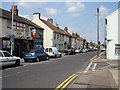


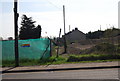

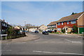
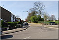
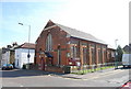
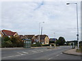
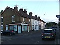
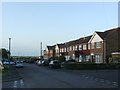
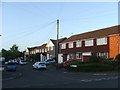
92 photos from this area
Area Information
Key information about the ME8 7PF including its size, population, and administrative classification.
- Area Type
- Postcode
- Area Size
- 3.6 hectares
- Population
- 1812
- Population Density
- 373 people/km²
House Prices in ME8 7PF
66
Properties
£187,746
Average Sold Price
£47,250
Lowest Price
£340,000
Highest Price
Showing 66 properties
| Address | Type | Beds | Baths | Last Sale Price | Last Sale Date | |
|---|---|---|---|---|---|---|
| 107 Macklands Way, Rainham, Gillingham, ME8 7PF | Terraced | 3 | 1 | £310,000 | Sep 2025 | |
| 111 Macklands Way, Rainham, Gillingham, ME8 7PF | Terraced | 2 | 1 | £230,000 | Feb 2025 | |
| 101 Macklands Way, Rainham, Gillingham, ME8 7PF | Terraced | 3 | 1 | £315,000 | Jun 2023 | |
| 57 Macklands Way, Rainham, Gillingham, ME8 7PF | Terraced | 3 | 1 | £314,840 | Aug 2022 | |
| 49 Macklands Way, Rainham, Gillingham, ME8 7PF | Terraced | 3 | 1 | £302,500 | Jan 2022 | |
| 86 Macklands Way, Rainham, Gillingham, ME8 7PF | house | - | - | £340,000 | Dec 2021 | |
| 53 Macklands Way, Rainham, Gillingham, ME8 7PF | Terraced | 4 | 1 | £295,000 | Sep 2021 | |
| 115 Macklands Way, Rainham, Gillingham, ME8 7PF | Terraced | 3 | 1 | £276,000 | Jun 2021 | |
| 62 Macklands Way, Rainham, Gillingham, ME8 7PF | Terraced | 3 | 1 | £285,000 | Jun 2020 | |
| 131 Macklands Way, Rainham, Gillingham, ME8 7PF | Terraced | 3 | 1 | £270,000 | Mar 2020 |
Page 1 of 7
Energy Efficiency in ME8 7PF
Amenities
Schools
| Rank | School | Type | Entry gender | Ages |
|---|
Explore more schools in this area
Go to Schools tabDemographics
Household Size
Two person
most common
Accommodation Type
Houses
most common
Tenure
91
majority
Ethnic Group
White
most common
Religion
N/A
most common
Household Composition
N/A
most common
Age
47
median
Adults (30-64 years)
most common
Household Deprivation
N/A
with no deprivation
NS-SEC
38
in Lower managerial occupations
Explore more demographic insights in this area
Go to Demographics tabPlanning
Planning Constraints
- Flood RiskPremium
- Ramsar Wetland SitesPremium
- Area of Outstanding Natural BeautyPremium
- Protected Nature ReservePremium
- Protected WoodlandPremium