Area Overview for ME8 0JW
Photos of ME8 0JW
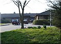
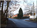
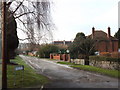
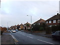
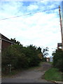
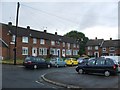
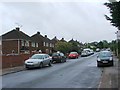
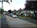
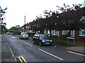
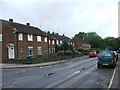
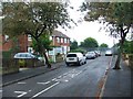
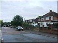
45 photos from this area
Area Information
Key information about the ME8 0JW including its size, population, and administrative classification.
- Area Type
- Postcode
- Area Size
- 2.0 hectares
- Population
- 1516
- Population Density
- 3643 people/km²
House Prices in ME8 0JW
33
Properties
£392,316
Average Sold Price
£78,000
Lowest Price
£660,000
Highest Price
Showing 33 properties
| Address | Type | Beds | Baths | Last Sale Price | Last Sale Date | |
|---|---|---|---|---|---|---|
| 16 Durham Road, Rainham, Gillingham, ME8 0JW | house | 5 | 2 | £660,000 | Aug 2024 | |
| 5 Durham Road, Rainham, Gillingham, ME8 0JW | Detached | 4 | 2 | £610,000 | Sep 2023 | |
| 18 Durham Road, Rainham, Gillingham, ME8 0JW | Bungalow | - | - | £555,000 | Dec 2021 | |
| 15 Durham Road, Rainham, Gillingham, ME8 0JW | house | - | - | £465,000 | Mar 2021 | |
| 10 Durham Road, Rainham, Gillingham, ME8 0JW | house | - | - | £395,000 | Mar 2021 | |
| 30 Durham Road, Rainham, Gillingham, ME8 0JW | house | 4 | - | £527,000 | Feb 2021 | |
| 29 Durham Road, Rainham, Gillingham, ME8 0JW | Detached | 5 | 3 | £635,000 | May 2020 | |
| 3 Durham Road, Rainham, Gillingham, ME8 0JW | Detached | 5 | 2 | £545,000 | Jun 2019 | |
| 9 Durham Road, Rainham, Gillingham, ME8 0JW | house | 3 | - | £342,000 | Jul 2018 | |
| 32 Durham Road, Rainham, Gillingham, ME8 0JW | Bungalow | - | - | £550,000 | Aug 2017 |
Page 1 of 4
Energy Efficiency in ME8 0JW
Amenities
Schools
| Rank | School | Type | Entry gender | Ages |
|---|
Explore more schools in this area
Go to Schools tabDemographics
Household Size
Two person
most common
Accommodation Type
Houses
most common
Tenure
89
majority
Ethnic Group
White
most common
Religion
N/A
most common
Household Composition
N/A
most common
Age
47
median
Adults (30-64 years)
most common
Household Deprivation
N/A
with no deprivation
NS-SEC
36
in Lower managerial occupations
Explore more demographic insights in this area
Go to Demographics tabPlanning
Planning Constraints
- Flood RiskPremium
- Ramsar Wetland SitesPremium
- Area of Outstanding Natural BeautyPremium
- Protected Nature ReservePremium
- Protected WoodlandPremium