Area Overview for ME8 0BL
Photos of ME8 0BL
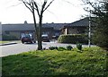
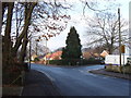
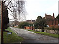
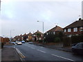
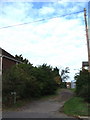
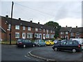
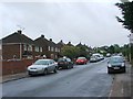
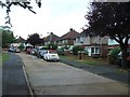
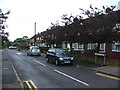
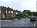
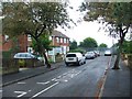
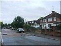
45 photos from this area
Area Information
Key information about the ME8 0BL including its size, population, and administrative classification.
- Area Type
- Postcode
- Area Size
- 5306 m²
- Population
- 1569
- Population Density
- 6093 people/km²
House Prices in ME8 0BL
16
Properties
£201,571
Average Sold Price
£106,500
Lowest Price
£313,000
Highest Price
Showing 16 properties
| Address | Type | Beds | Baths | Last Sale Price | Last Sale Date | |
|---|---|---|---|---|---|---|
| 51 Salisbury Avenue, Rainham, Gillingham, ME8 0BL | house | - | - | £313,000 | Feb 2021 | |
| 53 Salisbury Avenue, Rainham, Gillingham, ME8 0BL | Terraced | 3 | 2 | £230,000 | Aug 2017 | |
| 74 Salisbury Avenue, Rainham, Gillingham, ME8 0BL | house | - | - | £230,000 | Jul 2017 | |
| 82 Salisbury Avenue, Rainham, Gillingham, ME8 0BL | Terraced | 3 | - | £195,000 | Apr 2015 | |
| 78 Salisbury Avenue, Rainham, Gillingham, ME8 0BL | Terraced | 3 | 1 | £171,000 | May 2014 | |
| 80 Salisbury Avenue, Rainham, Gillingham, ME8 0BL | Terraced | 3 | - | £165,500 | Apr 2010 | |
| 70 Salisbury Avenue, Rainham, Gillingham, ME8 0BL | house | - | - | £106,500 | Sep 2001 | |
| 47 Salisbury Avenue, Rainham, Gillingham, ME8 0BL | Terraced | 2 | 1 | - | - | |
| 84 Salisbury Avenue, Rainham, Gillingham, ME8 0BL | house | 3 | - | - | - | |
| 76 Salisbury Avenue, Rainham, Gillingham, ME8 0BL | Terraced | - | - | - | - |
Page 1 of 2
Energy Efficiency in ME8 0BL
Amenities
Schools
| Rank | School | Type | Entry gender | Ages |
|---|
Explore more schools in this area
Go to Schools tabDemographics
Household Size
Family (3-5 people)
most common
Accommodation Type
Houses
most common
Tenure
73
majority
Ethnic Group
White
most common
Religion
N/A
most common
Household Composition
N/A
most common
Age
47
median
Adults (30-64 years)
most common
Household Deprivation
N/A
with no deprivation
NS-SEC
31
in Lower managerial occupations
Explore more demographic insights in this area
Go to Demographics tabPlanning
Planning Constraints
- Flood RiskPremium
- Ramsar Wetland SitesPremium
- Area of Outstanding Natural BeautyPremium
- Protected Nature ReservePremium
- Protected WoodlandPremium