Area Overview for ME7 3QY
Photos of ME7 3QY
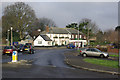
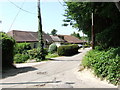
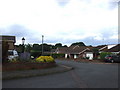
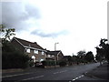
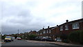
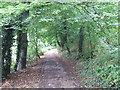
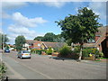
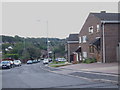
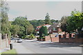
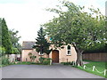
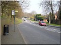
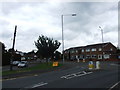
96 photos from this area
Area Information
Key information about the ME7 3QY including its size, population, and administrative classification.
- Area Type
- Postcode
- Area Size
- 1.3 hectares
- Population
- 1562
- Population Density
- 3369 people/km²
House Prices in ME7 3QY
18
Properties
£386,812
Average Sold Price
£199,995
Lowest Price
£535,000
Highest Price
Showing 18 properties
| Address | Type | Beds | Baths | Last Sale Price | Last Sale Date | |
|---|---|---|---|---|---|---|
| 16 Evergreen Close, Hempstead, Gillingham, ME7 3QY | Detached | 4 | 3 | £517,500 | Oct 2023 | |
| 18 Evergreen Close, Hempstead, Gillingham, ME7 3QY | Detached | 4 | 2 | £535,000 | Mar 2021 | |
| 9 Evergreen Close, Hempstead, Gillingham, ME7 3QY | house | 4 | 3 | £500,000 | Feb 2020 | |
| 11 Evergreen Close, Hempstead, Gillingham, ME7 3QY | Detached | 4 | - | £442,000 | May 2016 | |
| 7 Evergreen Close, Hempstead, Gillingham, ME7 3QY | house | - | - | £295,000 | Dec 2010 | |
| 17 Evergreen Close, Hempstead, Gillingham, ME7 3QY | house | - | - | £300,000 | Mar 2010 | |
| 4 Evergreen Close, Hempstead, Gillingham, ME7 3QY | Detached | - | - | £305,000 | Sep 2006 | |
| 5 Evergreen Close, Hempstead, Gillingham, ME7 3QY | house | - | - | £199,995 | Jan 2002 | |
| 1 Evergreen Close, Hempstead, Gillingham, ME7 3QY | Detached | 4 | 1 | - | - | |
| 3 Evergreen Close, Hempstead, Gillingham, ME7 3QY | house | - | - | - | - |
Page 1 of 2
Energy Efficiency in ME7 3QY
Amenities
Schools
| Rank | School | Type | Entry gender | Ages |
|---|
Explore more schools in this area
Go to Schools tabDemographics
Household Size
Family (3-5 people)
most common
Accommodation Type
Houses
most common
Tenure
86
majority
Ethnic Group
White
most common
Religion
N/A
most common
Household Composition
N/A
most common
Age
47
median
Adults (30-64 years)
most common
Household Deprivation
N/A
with no deprivation
NS-SEC
41
in Lower managerial occupations
Explore more demographic insights in this area
Go to Demographics tabPlanning
Planning Constraints
- Flood RiskPremium
- Ramsar Wetland SitesPremium
- Area of Outstanding Natural BeautyPremium
- Protected Nature ReservePremium
- Protected WoodlandPremium