Area Overview for ME7 3QE
Photos of ME7 3QE
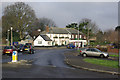
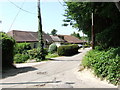
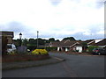
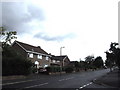
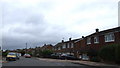
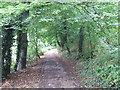
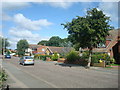
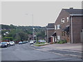
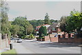
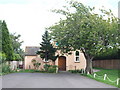
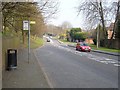
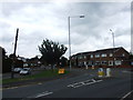
96 photos from this area
Area Information
Key information about the ME7 3QE including its size, population, and administrative classification.
- Area Type
- Postcode
- Area Size
- 1.1 hectares
- Population
- 1674
- Population Density
- 3485 people/km²
House Prices in ME7 3QE
18
Properties
£311,813
Average Sold Price
£200,000
Lowest Price
£499,000
Highest Price
Showing 18 properties
| Address | Type | Beds | Baths | Last Sale Price | Last Sale Date | |
|---|---|---|---|---|---|---|
| 129 Hempstead Road, Hempstead, Gillingham, ME7 3QE | Semi-detached | 3 | 1 | £370,000 | May 2022 | |
| 133 Hempstead Road, Hempstead, Gillingham, ME7 3QE | Semi-detached | 3 | 1 | £260,000 | Aug 2019 | |
| 137 Hempstead Road, Hempstead, Gillingham, ME7 3QE | Terraced | 3 | 1 | £290,000 | Jul 2017 | |
| 145 Hempstead Road, Hempstead, Gillingham, ME7 3QE | Terraced | 3 | - | £287,500 | May 2017 | |
| 152 Hempstead Road, Hempstead, Gillingham, ME7 3QE | Detached | 5 | - | £370,000 | Aug 2013 | |
| 127 Hempstead Road, Hempstead, Gillingham, ME7 3QE | Semi-detached | - | - | £200,000 | Nov 2008 | |
| 154 Hempstead Road, Hempstead, Gillingham, ME7 3QE | Detached | - | - | £499,000 | May 2008 | |
| 131 Hempstead Road, Hempstead, Gillingham, ME7 3QE | house | - | - | £218,000 | Feb 2008 | |
| 135 Hempstead Road, Hempstead, Gillingham, ME7 3QE | Terraced | 5 | 1 | - | - | |
| Lancaster Estates, 148-148-A Hempstead Road, Hempstead, Gillingham, ME7 3QE | Office | - | - | - | - |
Page 1 of 2
Energy Efficiency in ME7 3QE
Amenities
Schools
| Rank | School | Type | Entry gender | Ages |
|---|
Explore more schools in this area
Go to Schools tabDemographics
Household Size
Family (3-5 people)
most common
Accommodation Type
Houses
most common
Tenure
89
majority
Ethnic Group
White
most common
Religion
N/A
most common
Household Composition
N/A
most common
Age
47
median
Adults (30-64 years)
most common
Household Deprivation
N/A
with no deprivation
NS-SEC
40
in Lower managerial occupations
Explore more demographic insights in this area
Go to Demographics tabPlanning
Planning Constraints
- Flood RiskPremium
- Ramsar Wetland SitesPremium
- Area of Outstanding Natural BeautyPremium
- Protected Nature ReservePremium
- Protected WoodlandPremium