Area Overview for ME7 1UE
Photos of ME7 1UE

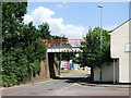
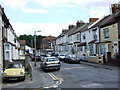
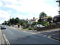
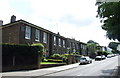
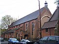
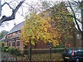
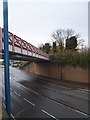
100 photos from this area
Area Information
Key information about the ME7 1UE including its size, population, and administrative classification.
- Area Type
- Postcode
- Area Size
- 1.1 hectares
- Population
- 1279
- Population Density
- 8504 people/km²
House Prices in ME7 1UE
36
Properties
£143,063
Average Sold Price
£32,500
Lowest Price
£210,000
Highest Price
Showing 36 properties
| Address | Type | Beds | Baths | Last Sale Price | Last Sale Date | |
|---|---|---|---|---|---|---|
| 63 Knight Avenue, Gillingham, ME7 1UE | Terraced | 3 | 1 | £181,000 | Sep 2020 | |
| 13 Knight Avenue, Gillingham, ME7 1UE | Semi-detached | 3 | 1 | £185,000 | Jul 2020 | |
| 65 Knight Avenue, Gillingham, ME7 1UE | Terraced | 3 | 2 | £210,000 | Jul 2019 | |
| 19 Knight Avenue, Gillingham, ME7 1UE | Terraced | 3 | 1 | £200,000 | Nov 2018 | |
| 53 Knight Avenue, Gillingham, ME7 1UE | Terraced | 4 | - | £124,000 | Aug 2006 | |
| 23 Knight Avenue, Gillingham, ME7 1UE | house | - | - | £126,000 | Dec 2004 | |
| 41 Knight Avenue, Gillingham, ME7 1UE | Terraced | - | - | £86,000 | Dec 2002 | |
| 9 Knight Avenue, Gillingham, ME7 1UE | Terraced | - | - | £32,500 | Aug 1996 | |
| 55 Knight Avenue, Gillingham, ME7 1UE | Terraced | 3 | 1 | - | - | |
| 1 Knight Avenue, Gillingham, ME7 1UE | house | - | - | - | - |
Page 1 of 4
Energy Efficiency in ME7 1UE
Amenities
Schools
| Rank | School | Type | Entry gender | Ages |
|---|
Explore more schools in this area
Go to Schools tabDemographics
Household Size
Family (3-5 people)
most common
Accommodation Type
Houses
most common
Tenure
35
majority
Ethnic Group
White
most common
Religion
N/A
most common
Household Composition
N/A
most common
Age
47
median
Adults (30-64 years)
most common
Household Deprivation
N/A
with no deprivation
NS-SEC
15
in Lower managerial occupations
Explore more demographic insights in this area
Go to Demographics tabPlanning
Planning Constraints
- Flood RiskPremium
- Ramsar Wetland SitesPremium
- Area of Outstanding Natural BeautyPremium
- Protected Nature ReservePremium
- Protected WoodlandPremium