Area Overview for ME2 1BY
Photos of ME2 1BY
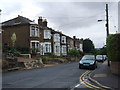
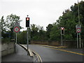
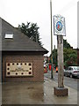
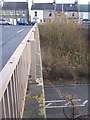
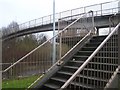
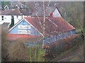
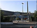
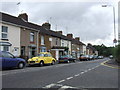
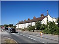
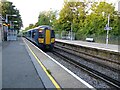
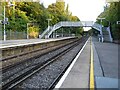
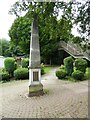
84 photos from this area
Area Information
Key information about the ME2 1BY including its size, population, and administrative classification.
- Area Type
- Postcode
- Area Size
- 8649 m²
- Population
- 1307
- Population Density
- 1144 people/km²
House Prices in ME2 1BY
35
Properties
£205,795
Average Sold Price
£53,500
Lowest Price
£480,000
Highest Price
Showing 35 properties
| Address | Type | Beds | Baths | Last Sale Price | Last Sale Date | |
|---|---|---|---|---|---|---|
| 58 High Street, Halling, Rochester, ME2 1BY | house | - | - | £257,500 | Sep 2023 | |
| 100 High Street, Halling, Rochester, ME2 1BY | Terraced | 2 | 1 | £127,313 | Apr 2023 | |
| 108 High Street, Halling, Rochester, ME2 1BY | Terraced | 2 | 1 | £250,000 | Jan 2023 | |
| 84 High Street, Halling, Rochester, ME2 1BY | house | 2 | - | £243,000 | Nov 2021 | |
| 94 High Street, Halling, Rochester, ME2 1BY | Terraced | 2 | 1 | £289,950 | Jun 2021 | |
| 52 High Street, Halling, Rochester, ME2 1BY | Terraced | 1 | 1 | £180,000 | Jun 2021 | |
| 62 High Street, Halling, Rochester, ME2 1BY | house | 2 | 1 | £210,000 | Feb 2021 | |
| 96 High Street, Halling, Rochester, ME2 1BY | Terraced | 3 | 2 | £480,000 | Aug 2020 | |
| 68 High Street, Halling, Rochester, ME2 1BY | house | - | - | £395,000 | Jun 2020 | |
| 104 High Street, Halling, Rochester, ME2 1BY | Terraced | 3 | 1 | £230,000 | Dec 2018 |
Page 1 of 4
Energy Efficiency in ME2 1BY
Amenities
Schools
| Rank | School | Type | Entry gender | Ages |
|---|
Explore more schools in this area
Go to Schools tabDemographics
Household Size
Family (3-5 people)
most common
Accommodation Type
Houses
most common
Tenure
87
majority
Ethnic Group
White
most common
Religion
N/A
most common
Household Composition
N/A
most common
Age
47
median
Adults (30-64 years)
most common
Household Deprivation
N/A
with no deprivation
NS-SEC
35
in Lower managerial occupations
Explore more demographic insights in this area
Go to Demographics tabPlanning
Planning Constraints
- Flood RiskPremium
- Ramsar Wetland SitesPremium
- Area of Outstanding Natural BeautyPremium
- Protected Nature ReservePremium
- Protected WoodlandPremium