Area Overview for ME2 1BW
Photos of ME2 1BW
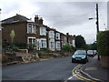
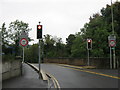
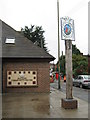
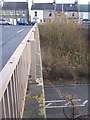
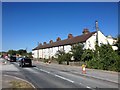
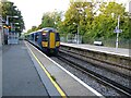
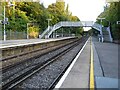
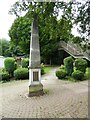
84 photos from this area
Area Information
Key information about the ME2 1BW including its size, population, and administrative classification.
- Area Type
- Postcode
- Area Size
- 4911 m²
- Population
- 1533
- Population Density
- 777 people/km²
House Prices in ME2 1BW
14
Properties
£253,494
Average Sold Price
£168,500
Lowest Price
£350,000
Highest Price
Showing 14 properties
| Address | Type | Beds | Baths | Last Sale Price | Last Sale Date | |
|---|---|---|---|---|---|---|
| 9 High Street, Halling, Rochester, ME2 1BW | Terraced | 3 | 1 | £350,000 | Nov 2024 | |
| 7 High Street, Halling, Rochester, ME2 1BW | Semi-detached | 3 | 2 | £272,500 | Apr 2019 | |
| 5 High Street, Halling, Rochester, ME2 1BW | Semi-detached | 3 | 2 | £303,500 | Dec 2018 | |
| 3 High Street, Halling, Rochester, ME2 1BW | Terraced | - | - | £250,000 | Nov 2016 | |
| 3A High Street, Halling, Rochester, ME2 1BW | Terraced | 3 | 1 | £235,000 | Jun 2015 | |
| 5A High Street, Halling, Rochester, ME2 1BW | Terraced | - | - | £192,000 | Jun 2013 | |
| 1A High Street, Halling, Rochester, ME2 1BW | Terraced | - | - | £168,500 | Mar 2012 | |
| 1 High Street, Halling, Rochester, ME2 1BW | house | - | - | £194,950 | Jan 2012 | |
| 11 High Street, Halling, Rochester, ME2 1BW | house | 3 | - | £315,000 | Sep 2004 | |
| 11C High Street, Halling, Rochester, ME2 1BW | Semi-detached | 3 | 1 | - | - |
Page 1 of 2
Energy Efficiency in ME2 1BW
Amenities
Schools
| Rank | School | Type | Entry gender | Ages |
|---|
Explore more schools in this area
Go to Schools tabDemographics
Household Size
Two person
most common
Accommodation Type
Houses
most common
Tenure
85
majority
Ethnic Group
White
most common
Religion
N/A
most common
Household Composition
N/A
most common
Age
47
median
Adults (30-64 years)
most common
Household Deprivation
N/A
with no deprivation
NS-SEC
36
in Lower managerial occupations
Explore more demographic insights in this area
Go to Demographics tabPlanning
Planning Constraints
- Flood RiskPremium
- Ramsar Wetland SitesPremium
- Area of Outstanding Natural BeautyPremium
- Protected Nature ReservePremium
- Protected WoodlandPremium