Area Overview for ME17 1HU
Photos of ME17 1HU
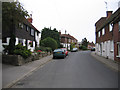
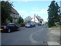

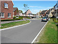
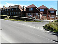
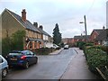
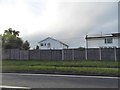
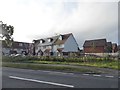
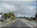
69 photos from this area
Area Information
Key information about the ME17 1HU including its size, population, and administrative classification.
- Area Type
- Postcode
- Area Size
- 7401 m²
- Population
- 1876
- Population Density
- 429 people/km²
House Prices in ME17 1HU
25
Properties
£270,833
Average Sold Price
£63,000
Lowest Price
£635,000
Highest Price
Showing 25 properties
| Address | Type | Beds | Baths | Last Sale Price | Last Sale Date | |
|---|---|---|---|---|---|---|
| The Old Post Office, 62 West Street, Harrietsham, ME17 1HU | Semi-detached | 4 | 1 | £585,000 | Mar 2022 | |
| 66 West Street, Harrietsham, ME17 1HU | house | - | - | £325,000 | Mar 2022 | |
| 80 West Street, Harrietsham, ME17 1HU | Terraced | 4 | 1 | £308,000 | Mar 2022 | |
| 68 West Street, Harrietsham, ME17 1HU | Terraced | 2 | 1 | £325,000 | Feb 2022 | |
| 62B West Street, Harrietsham, ME17 1HU | Maisonette | 1 | 1 | £133,000 | Oct 2021 | |
| 50 West Street, Harrietsham, ME17 1HU | Cottage | 2 | 1 | £215,000 | Aug 2021 | |
| 54 West Street, Harrietsham, ME17 1HU | Terraced | 1 | 1 | £635,000 | Apr 2017 | |
| 58 West Street, Harrietsham, ME17 1HU | Terraced | 2 | 1 | £345,000 | Apr 2017 | |
| 82 West Street, Harrietsham, ME17 1HU | Terraced | 4 | 1 | £245,000 | May 2016 | |
| River House, 42 West Street, Harrietsham, ME17 1HU | house | - | - | £340,000 | Sep 2010 |
Page 1 of 3
Energy Efficiency in ME17 1HU
Amenities
Schools
| Rank | School | Type | Entry gender | Ages |
|---|
Explore more schools in this area
Go to Schools tabDemographics
Household Size
Family (3-5 people)
most common
Accommodation Type
Houses
most common
Tenure
77
majority
Ethnic Group
White
most common
Religion
N/A
most common
Household Composition
N/A
most common
Age
47
median
Adults (30-64 years)
most common
Household Deprivation
N/A
with no deprivation
NS-SEC
40
in Lower managerial occupations
Explore more demographic insights in this area
Go to Demographics tabPlanning
Planning Constraints
- Flood RiskPremium
- Ramsar Wetland SitesPremium
- Area of Outstanding Natural BeautyPremium
- Protected Nature ReservePremium
- Protected WoodlandPremium