Area Overview for ME16 9EX
Photos of ME16 9EX
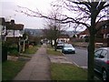
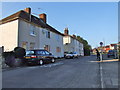
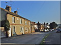
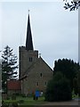
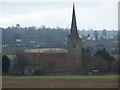
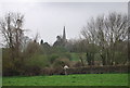
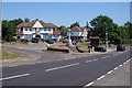
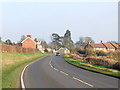
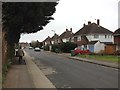
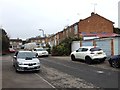
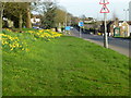
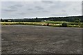
63 photos from this area
Area Information
Key information about the ME16 9EX including its size, population, and administrative classification.
- Area Type
- Postcode
- Area Size
- 14.4 hectares
- Population
- 2389
- Population Density
- 416 people/km²
House Prices in ME16 9EX
29
Properties
£431,778
Average Sold Price
£151,000
Lowest Price
£865,000
Highest Price
Showing 29 properties
| Address | Type | Beds | Baths | Last Sale Price | Last Sale Date | |
|---|---|---|---|---|---|---|
| 55 South Street, Barming, ME16 9EX | Detached | 4 | 1 | £780,000 | Jan 2025 | |
| 27 South Street, Barming, ME16 9EX | Terraced | 3 | 1 | £400,000 | Jul 2024 | |
| 7 South Street, Barming, ME16 9EX | Maisonette | 2 | 1 | £225,000 | Apr 2024 | |
| 25 South Street, Barming, ME16 9EX | Terraced | 2 | 1 | £295,000 | Sep 2023 | |
| 15 South Street, Barming, ME16 9EX | house | 3 | 1 | £400,000 | Oct 2022 | |
| Woodleigh, 41 South Street, Barming, ME16 9EX | house | - | - | £825,000 | Apr 2022 | |
| 31 South Street, Barming, ME16 9EX | Detached | - | - | £645,000 | Dec 2021 | |
| Jessamine Cottage, 37 South Street, Barming, ME16 9EX | house | - | - | £580,000 | May 2021 | |
| 39 South Street, Barming, ME16 9EX | Detached | 5 | 2 | £865,000 | Oct 2018 | |
| 3 South Street, Barming, ME16 9EX | Semi-detached | 4 | 2 | £304,000 | Oct 2014 |
Page 1 of 3
Energy Efficiency in ME16 9EX
Amenities
Schools
| Rank | School | Type | Entry gender | Ages |
|---|
Explore more schools in this area
Go to Schools tabDemographics
Household Size
Two person
most common
Accommodation Type
Houses
most common
Tenure
91
majority
Ethnic Group
White
most common
Religion
N/A
most common
Household Composition
N/A
most common
Age
47
median
Adults (30-64 years)
most common
Household Deprivation
N/A
with no deprivation
NS-SEC
41
in Lower managerial occupations
Explore more demographic insights in this area
Go to Demographics tabPlanning
Planning Constraints
- Flood RiskPremium
- Ramsar Wetland SitesPremium
- Area of Outstanding Natural BeautyPremium
- Protected Nature ReservePremium
- Protected WoodlandPremium