Area Overview for ME16 9EH
Photos of ME16 9EH
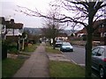
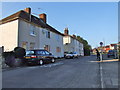
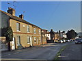
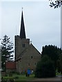
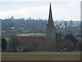
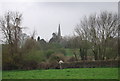
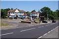
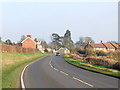
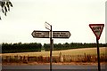
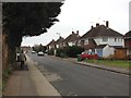
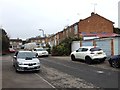
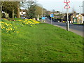
63 photos from this area
Area Information
Key information about the ME16 9EH including its size, population, and administrative classification.
- Area Type
- Postcode
- Area Size
- 1.4 hectares
- Population
- 2389
- Population Density
- 416 people/km²
House Prices in ME16 9EH
27
Properties
£304,567
Average Sold Price
£88,000
Lowest Price
£465,000
Highest Price
Showing 27 properties
| Address | Type | Beds | Baths | Last Sale Price | Last Sale Date | |
|---|---|---|---|---|---|---|
| 71 Abingdon Road, Maidstone, ME16 9EH | Semi-detached | 3 | 1 | £425,000 | Mar 2025 | |
| 83 Abingdon Road, Maidstone, ME16 9EH | house | 4 | - | £440,000 | Aug 2021 | |
| 102 Abingdon Road, Maidstone, ME16 9EH | Semi-detached | 3 | 1 | £343,000 | Jun 2021 | |
| 106 Abingdon Road, Maidstone, ME16 9EH | house | - | - | £465,000 | Apr 2021 | |
| 65 Abingdon Road, Maidstone, ME16 9EH | house | - | - | £355,000 | Oct 2019 | |
| 85 Abingdon Road, Maidstone, ME16 9EH | Semi-detached | 3 | 1 | £360,000 | Sep 2018 | |
| 81 Abingdon Road, Maidstone, ME16 9EH | house | - | - | £341,000 | Oct 2016 | |
| 87 Abingdon Road, Maidstone, ME16 9EH | Detached | 3 | - | £300,000 | Aug 2014 | |
| 100 Abingdon Road, Maidstone, ME16 9EH | house | 3 | - | £237,500 | Jan 2012 | |
| 79 Abingdon Road, Maidstone, ME16 9EH | house | 3 | - | £270,000 | Nov 2011 |
Page 1 of 3
Energy Efficiency in ME16 9EH
Amenities
Schools
| Rank | School | Type | Entry gender | Ages |
|---|
Explore more schools in this area
Go to Schools tabDemographics
Household Size
Two person
most common
Accommodation Type
Houses
most common
Tenure
91
majority
Ethnic Group
White
most common
Religion
N/A
most common
Household Composition
N/A
most common
Age
47
median
Adults (30-64 years)
most common
Household Deprivation
N/A
with no deprivation
NS-SEC
41
in Lower managerial occupations
Explore more demographic insights in this area
Go to Demographics tabPlanning
Planning Constraints
- Flood RiskPremium
- Ramsar Wetland SitesPremium
- Area of Outstanding Natural BeautyPremium
- Protected Nature ReservePremium
- Protected WoodlandPremium