Area Overview for ME15 8RH
Photos of ME15 8RH


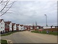
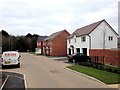
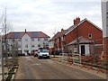

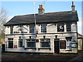


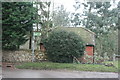
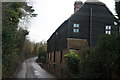
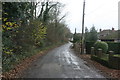
24 photos from this area
Area Information
Key information about the ME15 8RH including its size, population, and administrative classification.
- Area Type
- Postcode
- Area Size
- 2.7 hectares
- Population
- 2049
- Population Density
- 580 people/km²
House Prices in ME15 8RH
9
Properties
£344,837
Average Sold Price
£170,000
Lowest Price
£480,000
Highest Price
Showing 9 properties
| Address | Type | Beds | Baths | Last Sale Price | Last Sale Date | |
|---|---|---|---|---|---|---|
| Foxgloves, Simmonds Lane, Otham, ME15 8RH | Bungalow | - | - | £480,000 | Nov 2020 | |
| Springdene, Simmonds Lane, Otham, ME15 8RH | Bungalow | 2 | 1 | £375,000 | Dec 2015 | |
| Hurstbourne, Simmonds Lane, Otham, ME15 8RH | Bungalow | - | - | £310,000 | Jan 2013 | |
| Dormy House, Simmonds Lane, Otham, ME15 8RH | Bungalow | - | - | £427,225 | Jul 2007 | |
| White Croft, Simmonds Lane, Otham, ME15 8RH | Detached | - | - | £306,795 | Sep 2003 | |
| Borrowdale, Simmonds Lane, Otham, ME15 8RH | Detached | - | - | £170,000 | Nov 1996 | |
| Cobtree, Simmonds Lane, Otham, ME15 8RH | Bungalow | 3 | 2 | - | - | |
| Downs View House, Simmonds Lane, Otham, ME15 8RH | Detached | 5 | 2 | - | - | |
| Little Dutch, Simmonds Lane, Otham, ME15 8RH | Detached | - | - | - | - |
Energy Efficiency in ME15 8RH
Amenities
Schools
| Rank | School | Type | Entry gender | Ages |
|---|
Explore more schools in this area
Go to Schools tabDemographics
Household Size
Family (3-5 people)
most common
Accommodation Type
Houses
most common
Tenure
77
majority
Ethnic Group
White
most common
Religion
N/A
most common
Household Composition
N/A
most common
Age
47
median
Adults (30-64 years)
most common
Household Deprivation
N/A
with no deprivation
NS-SEC
41
in Lower managerial occupations
Explore more demographic insights in this area
Go to Demographics tabPlanning
Planning Constraints
- Flood RiskPremium
- Ramsar Wetland SitesPremium
- Area of Outstanding Natural BeautyPremium
- Protected Nature ReservePremium
- Protected WoodlandPremium