Area Overview for ME10 4RN
Photos of ME10 4RN
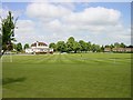
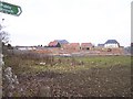
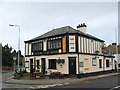
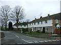
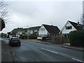
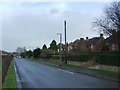
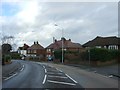
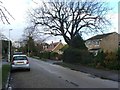
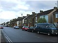
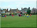
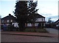
21 photos from this area
Area Information
Key information about the ME10 4RN including its size, population, and administrative classification.
- Area Type
- Postcode
- Area Size
- 5223 m²
- Population
- 1633
- Population Density
- 2629 people/km²
House Prices in ME10 4RN
27
Properties
£268,999
Average Sold Price
£170,000
Lowest Price
£400,000
Highest Price
Showing 27 properties
| Address | Type | Beds | Baths | Last Sale Price | Last Sale Date | |
|---|---|---|---|---|---|---|
| 113 Crossways, Sittingbourne, ME10 4RN | Semi-detached | 3 | 2 | £335,000 | Mar 2025 | |
| 83 Crossways, Sittingbourne, ME10 4RN | Semi-detached | 3 | 2 | £343,000 | Nov 2019 | |
| 123 Crossways, Sittingbourne, ME10 4RN | Detached | 4 | - | £400,000 | Jan 2017 | |
| 121 Crossways, Sittingbourne, ME10 4RN | house | 4 | 3 | £335,000 | Jan 2016 | |
| 115 Crossways, Sittingbourne, ME10 4RN | Semi-detached | 3 | 2 | £215,000 | Nov 2012 | |
| 125 Crossways, Sittingbourne, ME10 4RN | house | - | - | £233,000 | Jul 2011 | |
| 79 Crossways, Sittingbourne, ME10 4RN | house | - | - | £250,000 | Jul 2011 | |
| 77 Crossways, Sittingbourne, ME10 4RN | Detached | 4 | 3 | £264,995 | Jun 2010 | |
| 75 Crossways, Sittingbourne, ME10 4RN | Detached | 3 | 3 | £209,995 | Jun 2010 | |
| 81 Crossways, Sittingbourne, ME10 4RN | Semi-detached | 3 | 3 | £240,000 | May 2010 |
Page 1 of 3
Energy Efficiency in ME10 4RN
Amenities
Schools
| Rank | School | Type | Entry gender | Ages |
|---|
Explore more schools in this area
Go to Schools tabDemographics
Household Size
Family (3-5 people)
most common
Accommodation Type
Houses
most common
Tenure
86
majority
Ethnic Group
White
most common
Religion
N/A
most common
Household Composition
N/A
most common
Age
47
median
Adults (30-64 years)
most common
Household Deprivation
N/A
with no deprivation
NS-SEC
40
in Lower managerial occupations
Explore more demographic insights in this area
Go to Demographics tabPlanning
Planning Constraints
- Flood RiskPremium
- Ramsar Wetland SitesPremium
- Area of Outstanding Natural BeautyPremium
- Protected Nature ReservePremium
- Protected WoodlandPremium