Area Overview for ME10 4RJ
Photos of ME10 4RJ
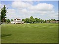
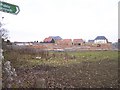
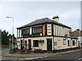
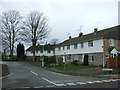
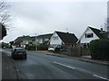
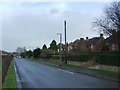
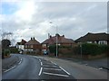
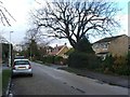
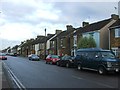
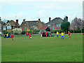
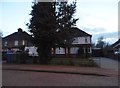
21 photos from this area
Area Information
Key information about the ME10 4RJ including its size, population, and administrative classification.
- Area Type
- Postcode
- Area Size
- 2.7 hectares
- Population
- 1633
- Population Density
- 2629 people/km²
House Prices in ME10 4RJ
36
Properties
£218,737
Average Sold Price
£52,500
Lowest Price
£350,000
Highest Price
Showing 36 properties
| Address | Type | Beds | Baths | Last Sale Price | Last Sale Date | |
|---|---|---|---|---|---|---|
| 71 Crossways, Sittingbourne, ME10 4RJ | Terraced | 3 | 1 | £340,000 | Mar 2025 | |
| 61 Crossways, Sittingbourne, ME10 4RJ | Terraced | 2 | 1 | £265,000 | Nov 2024 | |
| 65 Crossways, Sittingbourne, ME10 4RJ | house | 2 | 1 | £275,000 | Aug 2024 | |
| 39 Crossways, Sittingbourne, ME10 4RJ | house | - | - | £325,000 | Jun 2021 | |
| 33 Crossways, Sittingbourne, ME10 4RJ | Semi-detached | 4 | 2 | £350,000 | Jun 2019 | |
| 45 Crossways, Sittingbourne, ME10 4RJ | house | - | - | £290,000 | May 2017 | |
| 46 Crossways, Sittingbourne, ME10 4RJ | house | - | - | £265,000 | Apr 2017 | |
| 37 Crossways, Sittingbourne, ME10 4RJ | Semi-detached | 3 | - | £272,500 | Feb 2017 | |
| 63 Crossways, Sittingbourne, ME10 4RJ | Detached | 2 | - | £197,500 | Sep 2016 | |
| 60 Crossways, Sittingbourne, ME10 4RJ | house | - | - | £300,000 | Jun 2016 |
Page 1 of 4
Energy Efficiency in ME10 4RJ
Amenities
Schools
| Rank | School | Type | Entry gender | Ages |
|---|
Explore more schools in this area
Go to Schools tabDemographics
Household Size
Family (3-5 people)
most common
Accommodation Type
Houses
most common
Tenure
86
majority
Ethnic Group
White
most common
Religion
N/A
most common
Household Composition
N/A
most common
Age
47
median
Adults (30-64 years)
most common
Household Deprivation
N/A
with no deprivation
NS-SEC
40
in Lower managerial occupations
Explore more demographic insights in this area
Go to Demographics tabPlanning
Planning Constraints
- Flood RiskPremium
- Ramsar Wetland SitesPremium
- Area of Outstanding Natural BeautyPremium
- Protected Nature ReservePremium
- Protected WoodlandPremium