Area Overview for ME10 4RE
Photos of ME10 4RE
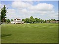
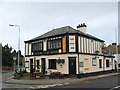
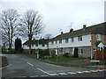
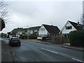
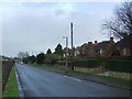
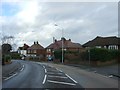
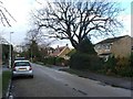
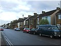
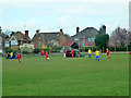
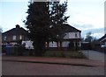
21 photos from this area
Area Information
Key information about the ME10 4RE including its size, population, and administrative classification.
- Area Type
- Postcode
- Area Size
- 1.1 hectares
- Population
- 1633
- Population Density
- 2629 people/km²
House Prices in ME10 4RE
23
Properties
£286,600
Average Sold Price
£165,000
Lowest Price
£420,000
Highest Price
Showing 23 properties
| Address | Type | Beds | Baths | Last Sale Price | Last Sale Date | |
|---|---|---|---|---|---|---|
| 51 The Fairway, Sittingbourne, ME10 4RE | Semi-detached | 4 | 2 | £420,000 | Sep 2025 | |
| 29 The Fairway, Sittingbourne, ME10 4RE | Semi-detached | 3 | 1 | £350,000 | Jun 2025 | |
| 46 The Fairway, Sittingbourne, ME10 4RE | Semi-detached | 4 | 1 | £415,000 | Mar 2024 | |
| 49 The Fairway, Sittingbourne, ME10 4RE | Semi-detached | 4 | - | £260,000 | Dec 2014 | |
| 44 The Fairway, Sittingbourne, ME10 4RE | house | - | - | £192,000 | Nov 2013 | |
| 35 The Fairway, Sittingbourne, ME10 4RE | house | - | - | £165,000 | Aug 2009 | |
| 36 The Fairway, Sittingbourne, ME10 4RE | Detached | - | - | £325,000 | Feb 2007 | |
| 37 The Fairway, Sittingbourne, ME10 4RE | Semi-detached | - | - | £200,000 | Sep 2005 | |
| 39 The Fairway, Sittingbourne, ME10 4RE | Detached | - | - | £274,000 | Jun 2005 | |
| 41 The Fairway, Sittingbourne, ME10 4RE | Detached | - | - | £265,000 | Jun 2004 |
Page 1 of 3
Energy Efficiency in ME10 4RE
Amenities
Schools
| Rank | School | Type | Entry gender | Ages |
|---|
Explore more schools in this area
Go to Schools tabDemographics
Household Size
Family (3-5 people)
most common
Accommodation Type
Houses
most common
Tenure
86
majority
Ethnic Group
White
most common
Religion
N/A
most common
Household Composition
N/A
most common
Age
47
median
Adults (30-64 years)
most common
Household Deprivation
N/A
with no deprivation
NS-SEC
40
in Lower managerial occupations
Explore more demographic insights in this area
Go to Demographics tabPlanning
Planning Constraints
- Flood RiskPremium
- Ramsar Wetland SitesPremium
- Area of Outstanding Natural BeautyPremium
- Protected Nature ReservePremium
- Protected WoodlandPremium