Area Overview for ME10 4RA
Photos of ME10 4RA
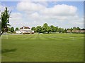
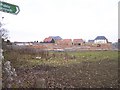
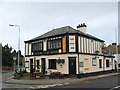
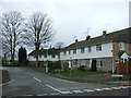
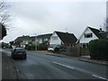
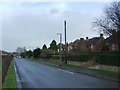
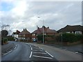
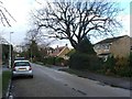
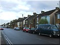
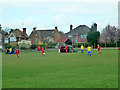
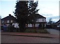
21 photos from this area
Area Information
Key information about the ME10 4RA including its size, population, and administrative classification.
- Area Type
- Postcode
- Area Size
- 7919 m²
- Population
- 1539
- Population Density
- 4692 people/km²
House Prices in ME10 4RA
17
Properties
£225,323
Average Sold Price
£69,500
Lowest Price
£435,000
Highest Price
Showing 17 properties
| Address | Type | Beds | Baths | Last Sale Price | Last Sale Date | |
|---|---|---|---|---|---|---|
| 30 The Fairway, Sittingbourne, ME10 4RA | house | 3 | 1 | £365,000 | Mar 2023 | |
| 24 The Fairway, Sittingbourne, ME10 4RA | house | - | - | £435,000 | Oct 2022 | |
| 17 The Fairway, Sittingbourne, ME10 4RA | Detached | 3 | 1 | £327,500 | May 2019 | |
| 19 The Fairway, Sittingbourne, ME10 4RA | Semi-detached | 3 | 1 | £337,000 | Aug 2018 | |
| 14 The Fairway, Sittingbourne, ME10 4RA | Semi-detached | 3 | - | £315,000 | Jul 2017 | |
| 26 The Fairway, Sittingbourne, ME10 4RA | Semi-detached | 4 | 2 | £224,000 | Jul 2013 | |
| 18 The Fairway, Sittingbourne, ME10 4RA | house | - | - | £230,000 | Jun 2005 | |
| 15 The Fairway, Sittingbourne, ME10 4RA | house | - | - | £180,000 | Sep 2002 | |
| 28 The Fairway, Sittingbourne, ME10 4RA | Semi-detached | - | - | £130,000 | May 2001 | |
| 23 The Fairway, Sittingbourne, ME10 4RA | Semi-detached | - | - | £128,500 | Oct 2000 |
Page 1 of 2
Energy Efficiency in ME10 4RA
Amenities
Schools
| Rank | School | Type | Entry gender | Ages |
|---|
Explore more schools in this area
Go to Schools tabDemographics
Household Size
Family (3-5 people)
most common
Accommodation Type
Houses
most common
Tenure
72
majority
Ethnic Group
White
most common
Religion
N/A
most common
Household Composition
N/A
most common
Age
47
median
Adults (30-64 years)
most common
Household Deprivation
N/A
with no deprivation
NS-SEC
40
in Lower managerial occupations
Explore more demographic insights in this area
Go to Demographics tabPlanning
Planning Constraints
- Flood RiskPremium
- Ramsar Wetland SitesPremium
- Area of Outstanding Natural BeautyPremium
- Protected Nature ReservePremium
- Protected WoodlandPremium