Area Overview for ME10 3NF
Photos of ME10 3NF
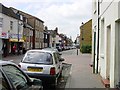
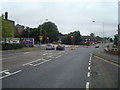
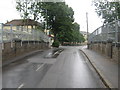
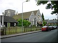

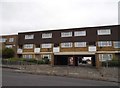
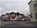
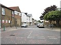
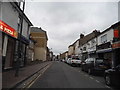
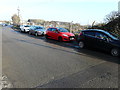
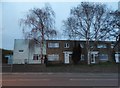
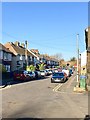
85 photos from this area
Area Information
Key information about the ME10 3NF including its size, population, and administrative classification.
- Area Type
- Postcode
- Area Size
- 1665 m²
- Population
- 1557
- Population Density
- 1751 people/km²
House Prices in ME10 3NF
10
Properties
£137,389
Average Sold Price
£35,500
Lowest Price
£234,000
Highest Price
Showing 10 properties
| Address | Type | Beds | Baths | Last Sale Price | Last Sale Date | |
|---|---|---|---|---|---|---|
| 30, Homeview Terrace, Tonge Road, Sittingbourne, ME10 3NF | Terraced | 3 | 1 | £230,000 | Aug 2025 | |
| 28, Homeview Terrace, Tonge Road, Sittingbourne, ME10 3NF | Terraced | 2 | 1 | £234,000 | Oct 2022 | |
| 27, Homeview Terrace, Tonge Road, Sittingbourne, ME10 3NF | house | - | - | £180,000 | Nov 2020 | |
| 33, Homeview Terrace, Tonge Road, Sittingbourne, ME10 3NF | house | 3 | 1 | £136,000 | Jul 2020 | |
| 32, Homeview Terrace, Tonge Road, Sittingbourne, ME10 3NF | house | 3 | 1 | £115,000 | Jan 2007 | |
| 31, Homeview Terrace, Tonge Road, Sittingbourne, ME10 3NF | house | - | - | £110,000 | Oct 2006 | |
| 29, Homeview Terrace, Tonge Road, Sittingbourne, ME10 3NF | Terraced | 3 | 1 | £106,000 | May 2005 | |
| 35, Homeview Terrace, Tonge Road, Sittingbourne, ME10 3NF | house | - | - | £90,000 | Nov 2002 | |
| 34, Homeview Terrace, Tonge Road, Sittingbourne, ME10 3NF | Terraced | - | - | £35,500 | Feb 1997 | |
| 36, Homeview Terrace, Tonge Road, Sittingbourne, ME10 3NF | Terraced | - | - | - | - |
Energy Efficiency in ME10 3NF
Amenities
Schools
| Rank | School | Type | Entry gender | Ages |
|---|
Explore more schools in this area
Go to Schools tabDemographics
Household Size
One person
most common
Accommodation Type
Houses
most common
Tenure
29
majority
Ethnic Group
White
most common
Religion
N/A
most common
Household Composition
N/A
most common
Age
47
median
Adults (30-64 years)
most common
Household Deprivation
N/A
with no deprivation
NS-SEC
12
in Lower managerial occupations
Explore more demographic insights in this area
Go to Demographics tabPlanning
Planning Constraints
- Flood RiskPremium
- Ramsar Wetland SitesPremium
- Area of Outstanding Natural BeautyPremium
- Protected Nature ReservePremium
- Protected WoodlandPremium