Area Overview for KT8 2LY
Photos of KT8 2LY
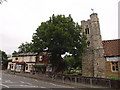
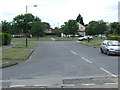
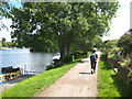
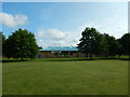
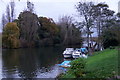
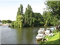
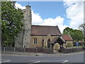
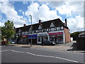
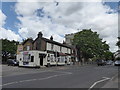
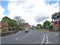
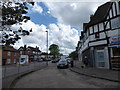
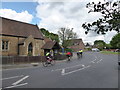
55 photos from this area
Area Information
Key information about the KT8 2LY including its size, population, and administrative classification.
- Area Type
- Postcode
- Area Size
- 1.4 hectares
- Population
- 1804
- Population Density
- 7237 people/km²
House Prices in KT8 2LY
43
Properties
£322,029
Average Sold Price
£113,500
Lowest Price
£658,000
Highest Price
Showing 43 properties
| Address | Type | Beds | Baths | Last Sale Price | Last Sale Date | |
|---|---|---|---|---|---|---|
| 92 High Street, West Molesey, KT8 2LY | Semi-detached | 3 | 2 | £658,000 | Jan 2025 | |
| 67 High Street, West Molesey, KT8 2LY | house | - | - | £500,000 | Sep 2022 | |
| 61 High Street, West Molesey, KT8 2LY | Flat | 1 | 1 | £200,000 | Aug 2022 | |
| 55 High Street, West Molesey, KT8 2LY | Flat | 1 | 1 | £225,000 | Mar 2022 | |
| 95 High Street, West Molesey, KT8 2LY | house | - | - | £458,000 | Nov 2021 | |
| 80 High Street, West Molesey, KT8 2LY | Terraced | 3 | 1 | £550,000 | Oct 2021 | |
| 86 High Street, West Molesey, KT8 2LY | Cottage | 2 | 1 | £405,000 | Aug 2020 | |
| 84 High Street, West Molesey, KT8 2LY | Cottage | 2 | 1 | £250,000 | Jun 2011 | |
| 88 High Street, West Molesey, KT8 2LY | Terraced | 3 | 2 | £305,000 | Aug 2010 | |
| 54 High Street, West Molesey, KT8 2LY | Semi-detached | 3 | 2 | £220,000 | Apr 2009 |
Page 1 of 5
Energy Efficiency in KT8 2LY
Amenities
Schools
| Rank | School | Type | Entry gender | Ages |
|---|
Explore more schools in this area
Go to Schools tabDemographics
Household Size
One person
most common
Accommodation Type
Houses
most common
Tenure
51
majority
Ethnic Group
White
most common
Religion
N/A
most common
Household Composition
N/A
most common
Age
47
median
Adults (30-64 years)
most common
Household Deprivation
N/A
with no deprivation
NS-SEC
34
in Lower managerial occupations
Explore more demographic insights in this area
Go to Demographics tabPlanning
Planning Constraints
- Flood RiskPremium
- Ramsar Wetland SitesPremium
- Area of Outstanding Natural BeautyPremium
- Protected Nature ReservePremium
- Protected WoodlandPremium