Area Overview for KT7 0UW
Photos of KT7 0UW

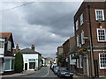
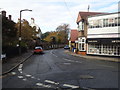

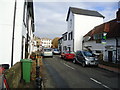
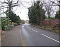


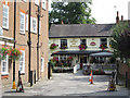

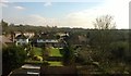
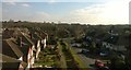
83 photos from this area
Area Information
Key information about the KT7 0UW including its size, population, and administrative classification.
- Area Type
- Postcode
- Area Size
- 1.3 hectares
- Population
- 1585
- Population Density
- 4239 people/km²
House Prices in KT7 0UW
30
Properties
£778,386
Average Sold Price
£173,500
Lowest Price
£1,930,000
Highest Price
Showing 30 properties
| Address | Type | Beds | Baths | Last Sale Price | Last Sale Date | |
|---|---|---|---|---|---|---|
| Beech Lodge, 95 Thorkhill Road, Thames Ditton, KT7 0UW | Retirement | - | - | £1,300,000 | Jun 2023 | |
| 107 Thorkhill Road, Thames Ditton, KT7 0UW | house | 3 | 1 | £685,000 | May 2023 | |
| 112 Thorkhill Road, Thames Ditton, KT7 0UW | Semi-detached | 3 | - | £995,000 | Feb 2023 | |
| 103 Thorkhill Road, Thames Ditton, KT7 0UW | house | 3 | 3 | £1,350,000 | Oct 2022 | |
| 99 Thorkhill Road, Thames Ditton, KT7 0UW | Detached | 2 | 1 | £625,000 | Feb 2019 | |
| 104 Thorkhill Road, Thames Ditton, KT7 0UW | Semi-detached | 4 | - | £1,085,000 | Aug 2016 | |
| 128 Thorkhill Road, Thames Ditton, KT7 0UW | Detached | 4 | - | £1,172,500 | Oct 2014 | |
| 126 Thorkhill Road, Thames Ditton, KT7 0UW | Semi-detached | 4 | - | £1,065,000 | Jul 2014 | |
| 127 Thorkhill Road, Thames Ditton, KT7 0UW | house | - | - | £1,930,000 | Dec 2013 | |
| 111 Thorkhill Road, Thames Ditton, KT7 0UW | house | - | - | £470,000 | Jan 2013 |
Page 1 of 3
Energy Efficiency in KT7 0UW
Amenities
Schools
| Rank | School | Type | Entry gender | Ages |
|---|
Explore more schools in this area
Go to Schools tabDemographics
Household Size
Family (3-5 people)
most common
Accommodation Type
Houses
most common
Tenure
84
majority
Ethnic Group
White
most common
Religion
N/A
most common
Household Composition
N/A
most common
Age
47
median
Adults (30-64 years)
most common
Household Deprivation
N/A
with no deprivation
NS-SEC
57
in Lower managerial occupations
Explore more demographic insights in this area
Go to Demographics tabPlanning
Planning Constraints
- Flood RiskPremium
- Ramsar Wetland SitesPremium
- Area of Outstanding Natural BeautyPremium
- Protected Nature ReservePremium
- Protected WoodlandPremium