Area Overview for KT22 0SH
Photos of KT22 0SH
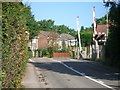
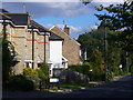
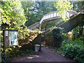
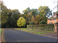
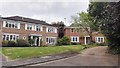
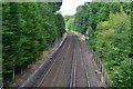
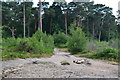
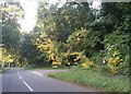
29 photos from this area
Area Information
Key information about the KT22 0SH including its size, population, and administrative classification.
- Area Type
- Postcode
- Area Size
- 1.8 hectares
- Population
- 1681
- Population Density
- 925 people/km²
House Prices in KT22 0SH
39
Properties
£320,725
Average Sold Price
£143,500
Lowest Price
£725,000
Highest Price
Showing 39 properties
| Address | Type | Beds | Baths | Last Sale Price | Last Sale Date | |
|---|---|---|---|---|---|---|
| 9 Lyfield, Oxshott, Leatherhead, KT22 0SH | Flat | - | - | £240,000 | Dec 2022 | |
| 43 Lyfield, Oxshott, Leatherhead, KT22 0SH | Flat | 1 | 1 | £725,000 | Sep 2022 | |
| 14 Lyfield, Oxshott, Leatherhead, KT22 0SH | house | - | - | £470,000 | Nov 2020 | |
| 5 Lyfield, Oxshott, Leatherhead, KT22 0SH | Flat | 1 | - | £193,000 | Aug 2019 | |
| 33 Lyfield, Oxshott, Leatherhead, KT22 0SH | house | - | - | £360,000 | Jan 2014 | |
| 24 Lyfield, Oxshott, Leatherhead, KT22 0SH | Semi-detached | - | - | £337,250 | Aug 2006 | |
| 21 Lyfield, Oxshott, Leatherhead, KT22 0SH | house | - | - | £273,500 | Oct 2004 | |
| 29 Lyfield, Oxshott, Leatherhead, KT22 0SH | Semi-detached | 3 | 1 | £240,000 | Oct 2003 | |
| 16 Lyfield, Oxshott, Leatherhead, KT22 0SH | house | - | - | £225,000 | Mar 2002 | |
| 37 Lyfield, Oxshott, Leatherhead, KT22 0SH | Semi-detached | - | - | £143,500 | Sep 1998 |
Page 1 of 4
Energy Efficiency in KT22 0SH
Amenities
Schools
| Rank | School | Type | Entry gender | Ages |
|---|
Explore more schools in this area
Go to Schools tabDemographics
Household Size
Family (3-5 people)
most common
Accommodation Type
Houses
most common
Tenure
78
majority
Ethnic Group
White
most common
Religion
N/A
most common
Household Composition
N/A
most common
Age
47
median
Adults (30-64 years)
most common
Household Deprivation
N/A
with no deprivation
NS-SEC
55
in Lower managerial occupations
Explore more demographic insights in this area
Go to Demographics tabPlanning
Planning Constraints
- Flood RiskPremium
- Ramsar Wetland SitesPremium
- Area of Outstanding Natural BeautyPremium
- Protected Nature ReservePremium
- Protected WoodlandPremium