Area Overview for KT22 0PS
Photos of KT22 0PS
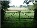
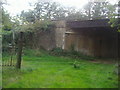
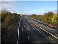
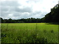
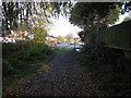
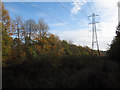
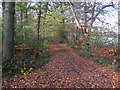
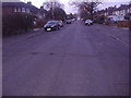
25 photos from this area
Area Information
Key information about the KT22 0PS including its size, population, and administrative classification.
- Area Type
- Postcode
- Area Size
- 63.2 hectares
- Population
- 1804
- Population Density
- 295 people/km²
House Prices in KT22 0PS
11
Properties
£2,565,833
Average Sold Price
£350,000
Lowest Price
£6,750,000
Highest Price
Showing 11 properties
| Address | Type | Beds | Baths | Last Sale Price | Last Sale Date | |
|---|---|---|---|---|---|---|
| Cherry Garth, Stokesheath Road, Oxshott, Leatherhead, KT22 0PS | Detached | 5 | 3 | £3,000,000 | Feb 2025 | |
| Stoke House, Stokesheath Road, Oxshott, Leatherhead, KT22 0PS | Detached | 5 | 3 | £6,750,000 | Jul 2023 | |
| Warren Keep, Stokesheath Road, Oxshott, Leatherhead, KT22 0PS | house | - | - | £3,200,000 | Aug 2019 | |
| 1, Stokesheath Farm Cottage, Stokesheath Road, Oxshott, Leatherhead, KT22 0PS | house | - | - | £350,000 | May 2016 | |
| Crown House, Stokesheath Road, Oxshott, Leatherhead, KT22 0PS | Detached | 5 | 3 | £1,320,000 | Apr 2013 | |
| Heckets, Stokesheath Road, Oxshott, Leatherhead, KT22 0PS | Detached | - | - | £775,000 | Sep 1999 | |
| Meadowvale Lodge, Stokesheath Road, Oxshott, Leatherhead, KT22 0PS | Detached | 5 | 4 | - | - | |
| Somersby House, Stokesheath Road, Oxshott, Leatherhead, KT22 0PS | Detached | 7 | 7 | - | - | |
| 2, Stokesheath Farm Cottage, Stokesheath Road, Oxshott, Leatherhead, KT22 0PS | house | 6 | 6 | - | - | |
| Fern House, Stokesheath Road, Oxshott, Leatherhead, KT22 0PS | Detached | 6 | - | - | - |
Page 1 of 2
Energy Efficiency in KT22 0PS
Amenities
Schools
| Rank | School | Type | Entry gender | Ages |
|---|
Explore more schools in this area
Go to Schools tabDemographics
Household Size
Family (3-5 people)
most common
Accommodation Type
Houses
most common
Tenure
84
majority
Ethnic Group
White
most common
Religion
N/A
most common
Household Composition
N/A
most common
Age
47
median
Adults (30-64 years)
most common
Household Deprivation
N/A
with no deprivation
NS-SEC
56
in Lower managerial occupations
Explore more demographic insights in this area
Go to Demographics tabPlanning
Planning Constraints
- Flood RiskPremium
- Ramsar Wetland SitesPremium
- Area of Outstanding Natural BeautyPremium
- Protected Nature ReservePremium
- Protected WoodlandPremium