Area Overview for KT21 2TL
Photos of KT21 2TL
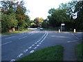
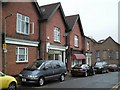
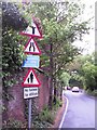
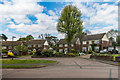
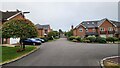
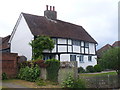
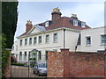
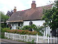
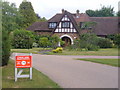
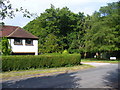
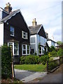

15 photos from this area
Area Information
Key information about the KT21 2TL including its size, population, and administrative classification.
- Area Type
- Postcode
- Area Size
- 2.7 hectares
- Population
- 1875
- Population Density
- 1897 people/km²
House Prices in KT21 2TL
36
Properties
£481,160
Average Sold Price
£176,700
Lowest Price
£780,000
Highest Price
Showing 36 properties
| Address | Type | Beds | Baths | Last Sale Price | Last Sale Date | |
|---|---|---|---|---|---|---|
| 73 Stag Leys, Ashtead, KT21 2TL | house | 3 | 2 | £690,000 | Jul 2025 | |
| 85 Stag Leys, Ashtead, KT21 2TL | Bungalow | 2 | 1 | £780,000 | Nov 2024 | |
| 86 Stag Leys, Ashtead, KT21 2TL | Detached | 3 | 2 | £570,000 | Nov 2020 | |
| 93 Stag Leys, Ashtead, KT21 2TL | Bungalow | - | - | £628,000 | Nov 2020 | |
| 99 Stag Leys, Ashtead, KT21 2TL | Semi-detached | 3 | 1 | £580,000 | Oct 2018 | |
| 89 Stag Leys, Ashtead, KT21 2TL | Semi-detached | 5 | 2 | £695,000 | Dec 2017 | |
| 105 Stag Leys, Ashtead, KT21 2TL | house | - | - | £770,000 | Sep 2016 | |
| 95 Stag Leys, Ashtead, KT21 2TL | house | - | - | £537,500 | Aug 2016 | |
| Moon Coin, 94 Stag Leys, Ashtead, KT21 2TL | house | - | - | £657,500 | Aug 2016 | |
| 72A Stag Leys, Ashtead, KT21 2TL | Bungalow | - | - | £520,000 | Feb 2016 |
Page 1 of 4
Energy Efficiency in KT21 2TL
Amenities
Schools
| Rank | School | Type | Entry gender | Ages |
|---|
Explore more schools in this area
Go to Schools tabDemographics
Household Size
Family (3-5 people)
most common
Accommodation Type
Houses
most common
Tenure
84
majority
Ethnic Group
White
most common
Religion
N/A
most common
Household Composition
N/A
most common
Age
47
median
Adults (30-64 years)
most common
Household Deprivation
N/A
with no deprivation
NS-SEC
52
in Lower managerial occupations
Explore more demographic insights in this area
Go to Demographics tabPlanning
Planning Constraints
- Flood RiskPremium
- Ramsar Wetland SitesPremium
- Area of Outstanding Natural BeautyPremium
- Protected Nature ReservePremium
- Protected WoodlandPremium