Area Overview for KT21 2TD
Photos of KT21 2TD
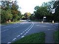
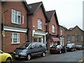
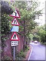
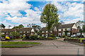
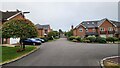
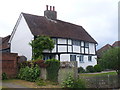
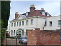
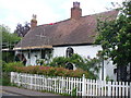
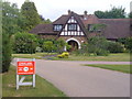
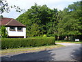
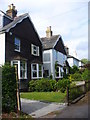
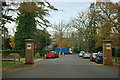
15 photos from this area
Area Information
Key information about the KT21 2TD including its size, population, and administrative classification.
- Area Type
- Postcode
- Area Size
- 5.1 hectares
- Population
- 1444
- Population Density
- 385 people/km²
House Prices in KT21 2TD
28
Properties
£518,463
Average Sold Price
£100,000
Lowest Price
£1,080,000
Highest Price
Showing 28 properties
| Address | Type | Beds | Baths | Last Sale Price | Last Sale Date | |
|---|---|---|---|---|---|---|
| 13 Stag Leys, Ashtead, KT21 2TD | Bungalow | 2 | 2 | £615,000 | Aug 2022 | |
| 8 Stag Leys, Ashtead, KT21 2TD | Retail | 4 | 3 | £1,080,000 | May 2022 | |
| 9 Stag Leys, Ashtead, KT21 2TD | Detached | 3 | 2 | £935,000 | Sep 2021 | |
| 5 Stag Leys, Ashtead, KT21 2TD | Detached | 5 | 2 | £870,000 | Jun 2021 | |
| 3 Stag Leys, Ashtead, KT21 2TD | Semi-detached | 3 | - | £615,000 | Mar 2021 | |
| 20 Stag Leys, Ashtead, KT21 2TD | Detached | 3 | 2 | £656,000 | Nov 2020 | |
| 24 Stag Leys, Ashtead, KT21 2TD | Bungalow | 2 | - | £475,000 | Sep 2020 | |
| 26 Stag Leys, Ashtead, KT21 2TD | Detached | 5 | - | £732,500 | Dec 2016 | |
| 18 Stag Leys, Ashtead, KT21 2TD | Detached | 4 | 2 | £525,000 | Apr 2015 | |
| 1A Stag Leys, Ashtead, KT21 2TD | Semi-detached | - | - | £399,950 | Jul 2010 |
Page 1 of 3
Energy Efficiency in KT21 2TD
Amenities
Schools
| Rank | School | Type | Entry gender | Ages |
|---|
Explore more schools in this area
Go to Schools tabDemographics
Household Size
Family (3-5 people)
most common
Accommodation Type
Houses
most common
Tenure
90
majority
Ethnic Group
White
most common
Religion
N/A
most common
Household Composition
N/A
most common
Age
47
median
Adults (30-64 years)
most common
Household Deprivation
N/A
with no deprivation
NS-SEC
56
in Lower managerial occupations
Explore more demographic insights in this area
Go to Demographics tabPlanning
Planning Constraints
- Flood RiskPremium
- Ramsar Wetland SitesPremium
- Area of Outstanding Natural BeautyPremium
- Protected Nature ReservePremium
- Protected WoodlandPremium