Area Overview for KT19 9QH
Photos of KT19 9QH
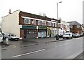
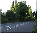
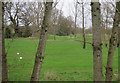
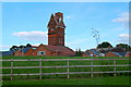
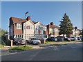
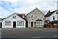
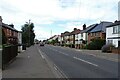
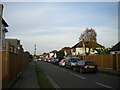
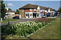
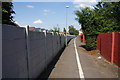
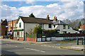
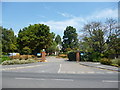
18 photos from this area
Area Information
Key information about the KT19 9QH including its size, population, and administrative classification.
- Area Type
- Postcode
- Area Size
- 1.1 hectares
- Population
- 1485
- Population Density
- 6837 people/km²
House Prices in KT19 9QH
26
Properties
£268,712
Average Sold Price
£70,950
Lowest Price
£685,000
Highest Price
Showing 26 properties
| Address | Type | Beds | Baths | Last Sale Price | Last Sale Date | |
|---|---|---|---|---|---|---|
| 19 Melton Fields, Epsom, KT19 9QH | Terraced | 4 | 3 | £685,000 | Sep 2025 | |
| 18 Melton Fields, Epsom, KT19 9QH | Terraced | 1 | 1 | £330,000 | Sep 2025 | |
| 1 Melton Fields, Epsom, KT19 9QH | Flat | 1 | 1 | £215,000 | Mar 2025 | |
| 4 Melton Fields, Epsom, KT19 9QH | Flat | - | - | £245,000 | Aug 2024 | |
| 5 Melton Fields, Epsom, KT19 9QH | Flat | - | - | £227,000 | Oct 2023 | |
| 11 Melton Fields, Epsom, KT19 9QH | Flat | 1 | 1 | £243,000 | Nov 2022 | |
| 17 Melton Fields, Epsom, KT19 9QH | house | - | - | £265,000 | Sep 2022 | |
| 6 Melton Fields, Epsom, KT19 9QH | Flat | - | - | £222,500 | Sep 2021 | |
| 22 Melton Fields, Epsom, KT19 9QH | house | 3 | - | £490,000 | Mar 2021 | |
| 2 Melton Fields, Epsom, KT19 9QH | Flat | 3 | 2 | £230,000 | Dec 2020 |
Page 1 of 3
Energy Efficiency in KT19 9QH
Amenities
Schools
| Rank | School | Type | Entry gender | Ages |
|---|
Explore more schools in this area
Go to Schools tabDemographics
Household Size
Family (3-5 people)
most common
Accommodation Type
Houses
most common
Tenure
49
majority
Ethnic Group
White
most common
Religion
N/A
most common
Household Composition
N/A
most common
Age
47
median
Adults (30-64 years)
most common
Household Deprivation
N/A
with no deprivation
NS-SEC
28
in Lower managerial occupations
Explore more demographic insights in this area
Go to Demographics tabPlanning
Planning Constraints
- Flood RiskPremium
- Ramsar Wetland SitesPremium
- Area of Outstanding Natural BeautyPremium
- Protected Nature ReservePremium
- Protected WoodlandPremium