Area Overview for KT19 8HG
Photos of KT19 8HG

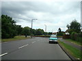
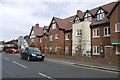
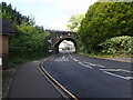
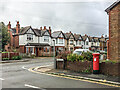
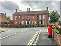
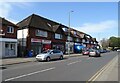
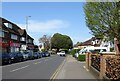
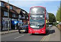
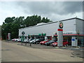
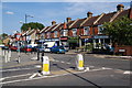
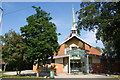
28 photos from this area
Area Information
Key information about the KT19 8HG including its size, population, and administrative classification.
- Area Type
- Postcode
- Area Size
- 3.7 hectares
- Population
- 1627
- Population Density
- 3498 people/km²
House Prices in KT19 8HG
27
Properties
£471,054
Average Sold Price
£105,000
Lowest Price
£875,000
Highest Price
Showing 27 properties
| Address | Type | Beds | Baths | Last Sale Price | Last Sale Date | |
|---|---|---|---|---|---|---|
| 67 Hazon Way, Epsom, KT19 8HG | Semi-detached | 4 | 2 | £730,000 | Sep 2024 | |
| 77 Hazon Way, Epsom, KT19 8HG | Semi-detached | 5 | 3 | £875,000 | Nov 2022 | |
| 103 Hazon Way, Epsom, KT19 8HG | Semi-detached | 4 | 2 | £647,000 | May 2021 | |
| 63 Hazon Way, Epsom, KT19 8HG | Semi-detached | 4 | 2 | £727,700 | Jan 2021 | |
| 75 Hazon Way, Epsom, KT19 8HG | house | - | - | £637,000 | Oct 2017 | |
| 99 Hazon Way, Epsom, KT19 8HG | house | - | - | £680,000 | Jun 2017 | |
| 91 Hazon Way, Epsom, KT19 8HG | Semi-detached | 3 | 1 | £105,000 | Apr 2012 | |
| 71 Hazon Way, Epsom, KT19 8HG | house | - | - | £444,950 | Sep 2010 | |
| 59 Hazon Way, Epsom, KT19 8HG | house | 3 | - | £246,000 | Oct 2001 | |
| 85 Hazon Way, Epsom, KT19 8HG | Semi-detached | - | - | £215,000 | Nov 2000 |
Page 1 of 3
Energy Efficiency in KT19 8HG
Amenities
Schools
| Rank | School | Type | Entry gender | Ages |
|---|
Explore more schools in this area
Go to Schools tabDemographics
Household Size
Family (3-5 people)
most common
Accommodation Type
Houses
most common
Tenure
79
majority
Ethnic Group
White
most common
Religion
N/A
most common
Household Composition
N/A
most common
Age
47
median
Adults (30-64 years)
most common
Household Deprivation
N/A
with no deprivation
NS-SEC
52
in Lower managerial occupations
Explore more demographic insights in this area
Go to Demographics tabPlanning
Planning Constraints
- Flood RiskPremium
- Ramsar Wetland SitesPremium
- Area of Outstanding Natural BeautyPremium
- Protected Nature ReservePremium
- Protected WoodlandPremium