Area Overview for KT18 6AB
Photos of KT18 6AB
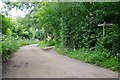
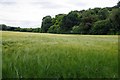
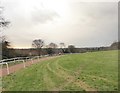
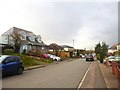
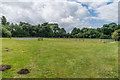
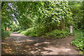
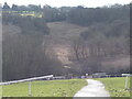
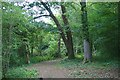
50 photos from this area
Area Information
Key information about the KT18 6AB including its size, population, and administrative classification.
- Area Type
- Postcode
- Area Size
- 20.2 hectares
- Population
- 1516
- Population Density
- 505 people/km²
House Prices in KT18 6AB
49
Properties
£441,339
Average Sold Price
£146,500
Lowest Price
£912,500
Highest Price
Showing 49 properties
| Address | Type | Beds | Baths | Last Sale Price | Last Sale Date | |
|---|---|---|---|---|---|---|
| 81 Rosebery Road, Epsom, KT18 6AB | Detached | 4 | 2 | £560,000 | Dec 2024 | |
| 113 Rosebery Road, Epsom, KT18 6AB | Detached | 4 | 2 | £715,000 | Aug 2024 | |
| 59 Rosebery Road, Epsom, KT18 6AB | Detached | 4 | 3 | £912,500 | Jul 2024 | |
| 95 Rosebery Road, Epsom, KT18 6AB | Detached | 3 | 1 | £540,000 | Jul 2023 | |
| 83 Rosebery Road, Epsom, KT18 6AB | Semi-detached | 3 | 1 | £535,000 | May 2021 | |
| 51A Rosebery Road, Epsom, KT18 6AB | Semi-detached | 4 | 2 | £590,000 | Aug 2020 | |
| 51 Rosebery Road, Epsom, KT18 6AB | Semi-detached | 4 | 3 | £580,000 | May 2020 | |
| 109 Rosebery Road, Epsom, KT18 6AB | Terraced | 2 | 2 | £435,000 | Oct 2018 | |
| 107 Rosebery Road, Epsom, KT18 6AB | Terraced | 2 | 1 | £407,000 | Sep 2018 | |
| 73 Rosebery Road, Epsom, KT18 6AB | house | - | - | £670,000 | Jan 2018 |
Page 1 of 5
Energy Efficiency in KT18 6AB
Amenities
Schools
| Rank | School | Type | Entry gender | Ages |
|---|
Explore more schools in this area
Go to Schools tabDemographics
Household Size
Family (3-5 people)
most common
Accommodation Type
Houses
most common
Tenure
90
majority
Ethnic Group
White
most common
Religion
N/A
most common
Household Composition
N/A
most common
Age
47
median
Adults (30-64 years)
most common
Household Deprivation
N/A
with no deprivation
NS-SEC
48
in Lower managerial occupations
Explore more demographic insights in this area
Go to Demographics tabPlanning
Planning Constraints
- Flood RiskPremium
- Ramsar Wetland SitesPremium
- Area of Outstanding Natural BeautyPremium
- Protected Nature ReservePremium
- Protected WoodlandPremium