Area Overview for KT12 2NA
Photos of KT12 2NA
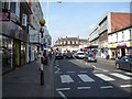
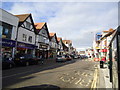
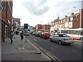
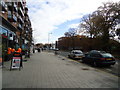
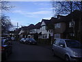

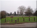
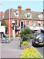


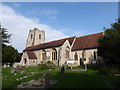
72 photos from this area
Area Information
Key information about the KT12 2NA including its size, population, and administrative classification.
- Area Type
- Postcode
- Area Size
- 2.4 hectares
- Population
- 1597
- Population Density
- 6385 people/km²
House Prices in KT12 2NA
50
Properties
£713,438
Average Sold Price
£79,500
Lowest Price
£1,385,000
Highest Price
Showing 50 properties
| Address | Type | Beds | Baths | Last Sale Price | Last Sale Date | |
|---|---|---|---|---|---|---|
| 14 Sidney Road, Walton On Thames, KT12 2NA | Detached | 5 | 5 | £1,385,000 | Feb 2025 | |
| 18 Sidney Road, Walton On Thames, KT12 2NA | Detached | 3 | 1 | £945,000 | Aug 2023 | |
| 9D Sidney Road, Walton On Thames, KT12 2NA | Terraced | 3 | 1 | £435,000 | Sep 2021 | |
| 28 Sidney Road, Walton On Thames, KT12 2NA | Detached | 4 | 3 | £785,000 | May 2014 | |
| 21A Sidney Road, Walton On Thames, KT12 2NA | Semi-detached | 6 | 5 | £1,050,000 | May 2014 | |
| 15 Sidney Road, Walton On Thames, KT12 2NA | Terraced | 3 | 1 | £360,500 | Apr 2014 | |
| 31A Sidney Road, Walton On Thames, KT12 2NA | Detached | 4 | - | £800,000 | Feb 2014 | |
| 26A Sidney Road, Walton On Thames, KT12 2NA | Detached | 5 | - | £835,000 | Dec 2013 | |
| 25 Sidney Road, Walton On Thames, KT12 2NA | house | 5 | - | £650,000 | Dec 2012 | |
| 29 Sidney Road, Walton On Thames, KT12 2NA | Detached | 4 | - | £825,000 | May 2012 |
Page 1 of 5
Energy Efficiency in KT12 2NA
Amenities
Schools
| Rank | School | Type | Entry gender | Ages |
|---|
Explore more schools in this area
Go to Schools tabDemographics
Household Size
Family (3-5 people)
most common
Accommodation Type
Houses
most common
Tenure
81
majority
Ethnic Group
White
most common
Religion
N/A
most common
Household Composition
N/A
most common
Age
47
median
Adults (30-64 years)
most common
Household Deprivation
N/A
with no deprivation
NS-SEC
46
in Lower managerial occupations
Explore more demographic insights in this area
Go to Demographics tabPlanning
Planning Constraints
- Flood RiskPremium
- Ramsar Wetland SitesPremium
- Area of Outstanding Natural BeautyPremium
- Protected Nature ReservePremium
- Protected WoodlandPremium