Area Overview for HP9 1HR
Photos of HP9 1HR
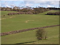
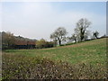
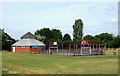
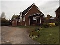
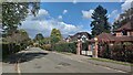
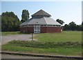

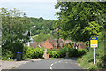
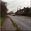
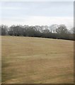
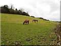
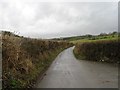
16 photos from this area
Area Information
Key information about the HP9 1HR including its size, population, and administrative classification.
- Area Type
- Postcode
- Area Size
- 5.5 hectares
- Population
- 1378
- Population Density
- 1504 people/km²
House Prices in HP9 1HR
25
Properties
£2,028,429
Average Sold Price
£372,500
Lowest Price
£5,887,647
Highest Price
Showing 25 properties
| Address | Type | Beds | Baths | Last Sale Price | Last Sale Date | |
|---|---|---|---|---|---|---|
| Merlewood, 29 Stratton Road, Beaconsfield, HP9 1HR | Detached | 5 | 2 | £1,860,000 | Mar 2025 | |
| Turramurra, 3 Stratton Road, Beaconsfield, HP9 1HR | Detached | 4 | 2 | £1,775,000 | Apr 2024 | |
| Westfield House, 19A Stratton Road, Beaconsfield, HP9 1HR | Flat | - | 1 | £3,690,000 | Dec 2021 | |
| Shandon Cottage, 25 Stratton Road, Beaconsfield, HP9 1HR | house | - | - | £1,600,000 | Jun 2021 | |
| Foxwood House, 23 Stratton Road, Beaconsfield, HP9 1HR | Detached | 5 | 2 | £1,765,000 | Mar 2021 | |
| 33 Stratton Road, Beaconsfield, HP9 1HR | Detached | 6 | 5 | £2,400,000 | Oct 2020 | |
| Upper Burgess, 11 Stratton Road, Beaconsfield, HP9 1HR | Detached | 7 | 7 | £5,887,647 | Jul 2020 | |
| Chiltern House, 19 Stratton Road, Beaconsfield, HP9 1HR | house | - | - | £2,000,000 | Nov 2018 | |
| Corner Cottage, 45 Stratton Road, Beaconsfield, HP9 1HR | Detached | 5 | - | £1,350,000 | Mar 2014 | |
| Little Holtspur, 37 Stratton Road, Beaconsfield, HP9 1HR | Detached | 5 | - | £1,850,000 | Feb 2014 |
Page 1 of 3
Energy Efficiency in HP9 1HR
Amenities
Schools
| Rank | School | Type | Entry gender | Ages |
|---|
Explore more schools in this area
Go to Schools tabDemographics
Household Size
Family (3-5 people)
most common
Accommodation Type
Houses
most common
Tenure
91
majority
Ethnic Group
White
most common
Religion
N/A
most common
Household Composition
N/A
most common
Age
47
median
Adults (30-64 years)
most common
Household Deprivation
N/A
with no deprivation
NS-SEC
64
in Lower managerial occupations
Explore more demographic insights in this area
Go to Demographics tabPlanning
Planning Constraints
- Flood RiskPremium
- Ramsar Wetland SitesPremium
- Area of Outstanding Natural BeautyPremium
- Protected Nature ReservePremium
- Protected WoodlandPremium