Area Overview for HP7 9PG
Photos of HP7 9PG
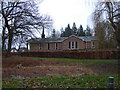
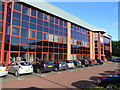
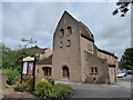
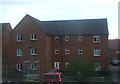
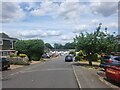
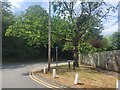
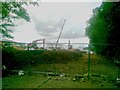
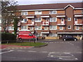
33 photos from this area
Area Information
Key information about the HP7 9PG including its size, population, and administrative classification.
- Area Type
- Postcode
- Area Size
- 6176 m²
- Population
- 2273
- Population Density
- 2054 people/km²
House Prices in HP7 9PG
26
Properties
£208,098
Average Sold Price
£65,950
Lowest Price
£342,500
Highest Price
Showing 26 properties
| Address | Type | Beds | Baths | Last Sale Price | Last Sale Date | |
|---|---|---|---|---|---|---|
| 2 Derwent Close, Little Chalfont, HP7 9PG | Flat | 2 | 1 | £210,000 | Dec 2025 | |
| 21 Derwent Close, Little Chalfont, HP7 9PG | Maisonette | 2 | 1 | £220,000 | Aug 2025 | |
| 17 Derwent Close, Little Chalfont, HP7 9PG | Maisonette | 1 | 1 | £225,000 | May 2025 | |
| 13 Derwent Close, Little Chalfont, HP7 9PG | Maisonette | 1 | 1 | £203,500 | Mar 2025 | |
| 20 Derwent Close, Little Chalfont, HP7 9PG | Maisonette | 2 | 1 | £342,500 | Oct 2023 | |
| 26 Derwent Close, Little Chalfont, HP7 9PG | Flat | 2 | 1 | £295,000 | Nov 2022 | |
| 3 Derwent Close, Little Chalfont, HP7 9PG | Maisonette | 2 | 1 | £280,000 | Dec 2021 | |
| 18 Derwent Close, Little Chalfont, HP7 9PG | Maisonette | - | - | £270,000 | Feb 2021 | |
| 4 Derwent Close, Little Chalfont, HP7 9PG | Maisonette | 3 | 1 | £292,500 | Feb 2021 | |
| 12 Derwent Close, Little Chalfont, HP7 9PG | Maisonette | 2 | 1 | £288,000 | Apr 2019 |
Page 1 of 3
Energy Efficiency in HP7 9PG
Amenities
Schools
| Rank | School | Type | Entry gender | Ages |
|---|
Explore more schools in this area
Go to Schools tabDemographics
Household Size
Family (3-5 people)
most common
Accommodation Type
Houses
most common
Tenure
56
majority
Ethnic Group
White
most common
Religion
N/A
most common
Household Composition
N/A
most common
Age
47
median
Adults (30-64 years)
most common
Household Deprivation
N/A
with no deprivation
NS-SEC
45
in Lower managerial occupations
Explore more demographic insights in this area
Go to Demographics tabPlanning
Planning Constraints
- Flood RiskPremium
- Ramsar Wetland SitesPremium
- Area of Outstanding Natural BeautyPremium
- Protected Nature ReservePremium
- Protected WoodlandPremium