Area Overview for HP5 2HD
Photos of HP5 2HD
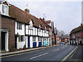
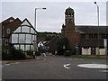
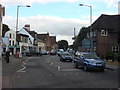
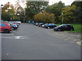

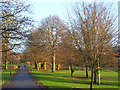
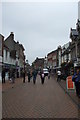
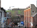
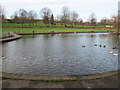
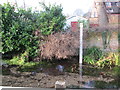
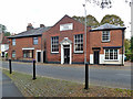
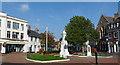
100 photos from this area
Area Information
Key information about the HP5 2HD including its size, population, and administrative classification.
- Area Type
- Postcode
- Area Size
- 8144 m²
- Population
- 1517
- Population Density
- 3921 people/km²
House Prices in HP5 2HD
28
Properties
£284,295
Average Sold Price
£74,000
Lowest Price
£440,000
Highest Price
Showing 28 properties
| Address | Type | Beds | Baths | Last Sale Price | Last Sale Date | |
|---|---|---|---|---|---|---|
| 25 Treachers Close, Chesham, HP5 2HD | Terraced | 3 | 1 | £435,000 | Feb 2025 | |
| 5 Treachers Close, Chesham, HP5 2HD | Terraced | 4 | 1 | £425,000 | Nov 2023 | |
| 35 Treachers Close, Chesham, HP5 2HD | house | - | - | £410,000 | Mar 2021 | |
| 49 Treachers Close, Chesham, HP5 2HD | house | - | - | £390,000 | Sep 2019 | |
| 21 Treachers Close, Chesham, HP5 2HD | house | 3 | 2 | £440,000 | May 2018 | |
| 51 Treachers Close, Chesham, HP5 2HD | Terraced | 3 | - | £332,000 | May 2018 | |
| 37 Treachers Close, Chesham, HP5 2HD | house | - | - | £400,000 | Nov 2017 | |
| 55 Treachers Close, Chesham, HP5 2HD | house | - | - | £372,000 | Mar 2017 | |
| 33 Treachers Close, Chesham, HP5 2HD | Semi-detached | 3 | - | £392,500 | Feb 2017 | |
| 19 Treachers Close, Chesham, HP5 2HD | house | - | - | £385,000 | Nov 2016 |
Page 1 of 3
Energy Efficiency in HP5 2HD
Amenities
Schools
| Rank | School | Type | Entry gender | Ages |
|---|
Explore more schools in this area
Go to Schools tabDemographics
Household Size
Family (3-5 people)
most common
Accommodation Type
Houses
most common
Tenure
72
majority
Ethnic Group
White
most common
Religion
N/A
most common
Household Composition
N/A
most common
Age
47
median
Adults (30-64 years)
most common
Household Deprivation
N/A
with no deprivation
NS-SEC
43
in Lower managerial occupations
Explore more demographic insights in this area
Go to Demographics tabPlanning
Planning Constraints
- Flood RiskPremium
- Ramsar Wetland SitesPremium
- Area of Outstanding Natural BeautyPremium
- Protected Nature ReservePremium
- Protected WoodlandPremium