Area Overview for HP27 9RA
Photos of HP27 9RA
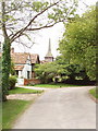
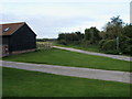
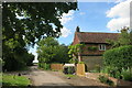
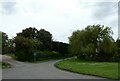
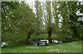
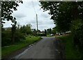
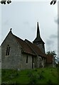
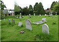
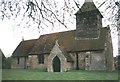
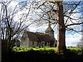
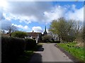

21 photos from this area
Area Information
Key information about the HP27 9RA including its size, population, and administrative classification.
- Area Type
- Postcode
- Area Size
- 39.9 hectares
- Population
- 2142
- Population Density
- 124 people/km²
House Prices in HP27 9RA
14
Properties
£783,000
Average Sold Price
£510,000
Lowest Price
£1,000,000
Highest Price
Showing 14 properties
| Address | Type | Beds | Baths | Last Sale Price | Last Sale Date | |
|---|---|---|---|---|---|---|
| Church View Barn, Ilmer Lane, Ilmer, HP27 9RA | house | - | - | £1,000,000 | Mar 2021 | |
| September Cottage, Ilmer Lane, Ilmer, HP27 9RA | Semi-detached | 3 | 1 | £510,000 | Oct 2020 | |
| The Old Vicarage, Ilmer Lane, Ilmer, HP27 9RA | house | 3 | - | £910,000 | Jul 2016 | |
| Manor Barn, Ilmer Lane, Ilmer, HP27 9RA | Detached | 4 | - | £721,000 | Oct 2013 | |
| Old Orchard, Ilmer Lane, Ilmer, HP27 9RA | house | 3 | - | £900,000 | Sep 2010 | |
| Field View Barn, Ilmer Lane, Ilmer, HP27 9RA | Detached | - | - | £790,000 | Dec 2007 | |
| Orchard Barn, Ilmer Lane, Ilmer, HP27 9RA | Semi-detached | - | - | £650,000 | Apr 2004 | |
| Swallow Barn, Upper Manor Farm, Ilmer Lane, Ilmer, HP27 9RA | Semi-detached | 4 | 3 | - | - | |
| Harvest Barn, Ilmer Lane, Ilmer, HP27 9RA | Cottage | 3 | 1 | - | - | |
| Upper Manor Farm, Ilmer Lane, Ilmer, HP27 9RA | Detached | 4 | 3 | - | - |
Page 1 of 2
Energy Efficiency in HP27 9RA
Amenities
Schools
| Rank | School | Type | Entry gender | Ages |
|---|
Explore more schools in this area
Go to Schools tabDemographics
Household Size
Two person
most common
Accommodation Type
Houses
most common
Tenure
80
majority
Ethnic Group
White
most common
Religion
N/A
most common
Household Composition
N/A
most common
Age
47
median
Adults (30-64 years)
most common
Household Deprivation
N/A
with no deprivation
NS-SEC
48
in Lower managerial occupations
Explore more demographic insights in this area
Go to Demographics tabPlanning
Planning Constraints
- Flood RiskPremium
- Ramsar Wetland SitesPremium
- Area of Outstanding Natural BeautyPremium
- Protected Nature ReservePremium
- Protected WoodlandPremium