Area Overview for HP22 4ND
Photos of HP22 4ND
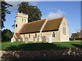
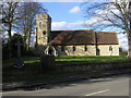
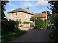
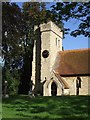
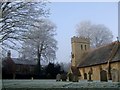
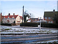
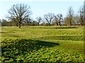
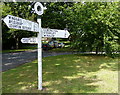
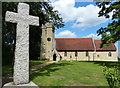
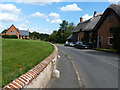
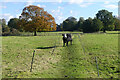
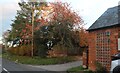
28 photos from this area
Area Information
Key information about the HP22 4ND including its size, population, and administrative classification.
- Area Type
- Postcode
- Area Size
- 34.7 hectares
- Population
- 1312
- Population Density
- 61 people/km²
House Prices in HP22 4ND
15
Properties
£565,100
Average Sold Price
£318,000
Lowest Price
£880,000
Highest Price
Showing 15 properties
| Address | Type | Beds | Baths | Last Sale Price | Last Sale Date | |
|---|---|---|---|---|---|---|
| Oak House, Cublington Road, Aston Abbotts, HP22 4ND | Semi-detached | 4 | 2 | £627,500 | Oct 2022 | |
| Hillrise House, Cublington Road, Aston Abbotts, HP22 4ND | house | - | - | £880,000 | Jun 2021 | |
| 1, Longmoor Farm Cottages, Cublington Road, Aston Abbotts, HP22 4ND | Semi-detached | 5 | 2 | £500,000 | Jul 2016 | |
| 3, Longmoor Barns, Cublington Road, Aston Abbotts, HP22 4ND | Semi-detached | 3 | 2 | £318,000 | May 2011 | |
| 1, Longmoor Barns, Cublington Road, Aston Abbotts, HP22 4ND | Detached | 6 | 2 | £500,000 | Aug 2003 | |
| 4, Ashridge House, Longmoor Barns, Cublington Road, Aston Abbotts, HP22 4ND | Terraced | 4 | 3 | - | - | |
| 2, Longmoor Barns, Cublington Road, Aston Abbotts, HP22 4ND | Semi-detached | 4 | 2 | - | - | |
| Fairview, Cublington Road, Aston Abbotts, HP22 4ND | Detached | - | - | - | - | |
| Red Barn Farm Cottage, Cublington Road, Aston Abbotts, HP22 4ND | Detached | - | - | - | - | |
| Red Barn Farm, Cublington Road, Aston Abbotts, HP22 4ND | Detached | - | - | - | - |
Page 1 of 2
Energy Efficiency in HP22 4ND
Amenities
Schools
| Rank | School | Type | Entry gender | Ages |
|---|
Explore more schools in this area
Go to Schools tabDemographics
Household Size
Two person
most common
Accommodation Type
Houses
most common
Tenure
71
majority
Ethnic Group
White
most common
Religion
N/A
most common
Household Composition
N/A
most common
Age
47
median
Adults (30-64 years)
most common
Household Deprivation
N/A
with no deprivation
NS-SEC
41
in Lower managerial occupations
Explore more demographic insights in this area
Go to Demographics tabPlanning
Planning Constraints
- Flood RiskPremium
- Ramsar Wetland SitesPremium
- Area of Outstanding Natural BeautyPremium
- Protected Nature ReservePremium
- Protected WoodlandPremium