Area Overview for HP22 4LY
Photos of HP22 4LY
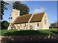
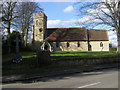
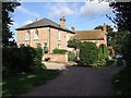
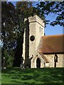
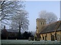
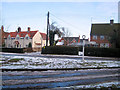
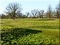
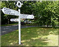
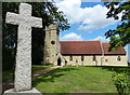
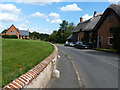
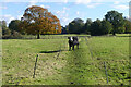
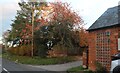
28 photos from this area
Area Information
Key information about the HP22 4LY including its size, population, and administrative classification.
- Area Type
- Postcode
- Area Size
- 3.8 hectares
- Population
- 1312
- Population Density
- 61 people/km²
House Prices in HP22 4LY
18
Properties
£350,615
Average Sold Price
£57,000
Lowest Price
£580,000
Highest Price
Showing 18 properties
| Address | Type | Beds | Baths | Last Sale Price | Last Sale Date | |
|---|---|---|---|---|---|---|
| 51 The Green, Aston Abbotts, HP22 4LY | Semi-detached | 3 | 1 | £526,000 | Mar 2024 | |
| 55 The Green, Aston Abbotts, HP22 4LY | Semi-detached | 2 | 2 | £532,000 | Jan 2024 | |
| 69 The Green, Aston Abbotts, HP22 4LY | Semi-detached | 5 | 3 | £485,000 | Jun 2021 | |
| 87 The Green, Aston Abbotts, HP22 4LY | Bungalow | - | - | £580,000 | May 2021 | |
| The Old Forge, The Green, Aston Abbotts, HP22 4LY | Detached | 3 | 1 | £460,000 | Jan 2021 | |
| 81 The Green, Aston Abbotts, HP22 4LY | Cottage | 2 | - | £335,000 | May 2019 | |
| 77 The Green, Aston Abbotts, HP22 4LY | house | 5 | 2 | £305,000 | Aug 2017 | |
| 65 The Green, Aston Abbotts, HP22 4LY | house | 3 | - | £420,000 | Jan 2013 | |
| 67 The Green, Aston Abbotts, HP22 4LY | house | 4 | - | £270,000 | Dec 2009 | |
| 53 The Green, Aston Abbotts, HP22 4LY | Semi-detached | - | - | £340,000 | Aug 2009 |
Page 1 of 2
Energy Efficiency in HP22 4LY
Amenities
Schools
| Rank | School | Type | Entry gender | Ages |
|---|
Explore more schools in this area
Go to Schools tabDemographics
Household Size
Two person
most common
Accommodation Type
Houses
most common
Tenure
71
majority
Ethnic Group
White
most common
Religion
N/A
most common
Household Composition
N/A
most common
Age
47
median
Adults (30-64 years)
most common
Household Deprivation
N/A
with no deprivation
NS-SEC
41
in Lower managerial occupations
Explore more demographic insights in this area
Go to Demographics tabPlanning
Planning Constraints
- Flood RiskPremium
- Ramsar Wetland SitesPremium
- Area of Outstanding Natural BeautyPremium
- Protected Nature ReservePremium
- Protected WoodlandPremium