Area Overview for HP10 8NZ
Photos of HP10 8NZ
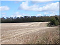
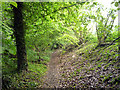
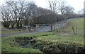
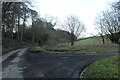
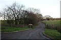
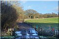
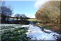
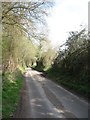

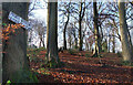
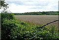
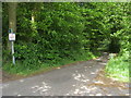
13 photos from this area
Area Information
Key information about the HP10 8NZ including its size, population, and administrative classification.
- Area Type
- Postcode
- Area Size
- 28.3 hectares
- Population
- 1671
- Population Density
- 348 people/km²
House Prices in HP10 8NZ
14
Properties
£1,425,333
Average Sold Price
£140,000
Lowest Price
£3,325,000
Highest Price
Showing 14 properties
| Address | Type | Beds | Baths | Last Sale Price | Last Sale Date | |
|---|---|---|---|---|---|---|
| Stone Cottage, Pauls Hill, Penn, HP10 8NZ | Terraced | 3 | 2 | £775,000 | Sep 2024 | |
| Hatchits, Pauls Hill, Penn, HP10 8NZ | Detached | 5 | 3 | £3,325,000 | Dec 2021 | |
| Oaktree Cottage, Pauls Hill, Penn, HP10 8NZ | house | - | - | £3,250,000 | Aug 2012 | |
| Hill House, Pauls Hill, Penn, HP10 8NZ | Detached | - | - | £732,000 | Jul 2004 | |
| Pauls Hill Cottage, Pauls Hill, Penn, HP10 8NZ | Terraced | 2 | - | £330,000 | Jun 2001 | |
| 2, Church Cottages, Pauls Hill, Penn, HP10 8NZ | Terraced | - | - | £140,000 | Aug 1996 | |
| The Knoll, Pauls Hill, Penn, HP10 8NZ | house | 6 | - | - | - | |
| Bede House, Pauls Hill, Penn, HP10 8NZ | Detached | - | - | - | - | |
| 6, Church Cottages, Pauls Hill, Penn, HP10 8NZ | house | - | - | - | - | |
| 3, Church Cottages, Pauls Hill, Penn, HP10 8NZ | Terraced | - | - | - | - |
Page 1 of 2
Energy Efficiency in HP10 8NZ
Amenities
Schools
| Rank | School | Type | Entry gender | Ages |
|---|
Explore more schools in this area
Go to Schools tabDemographics
Household Size
Two person
most common
Accommodation Type
Houses
most common
Tenure
81
majority
Ethnic Group
White
most common
Religion
N/A
most common
Household Composition
N/A
most common
Age
47
median
Adults (30-64 years)
most common
Household Deprivation
N/A
with no deprivation
NS-SEC
55
in Lower managerial occupations
Explore more demographic insights in this area
Go to Demographics tabPlanning
Planning Constraints
- Flood RiskPremium
- Ramsar Wetland SitesPremium
- Area of Outstanding Natural BeautyPremium
- Protected Nature ReservePremium
- Protected WoodlandPremium