Area Overview for HP10 8PQ
Photos of HP10 8PQ
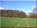
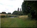
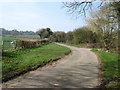
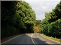
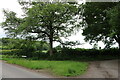
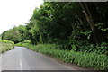
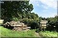
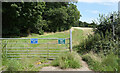
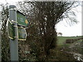
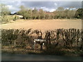
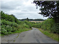
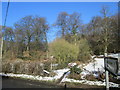
14 photos from this area
Area Information
Key information about the HP10 8PQ including its size, population, and administrative classification.
- Area Type
- Postcode
- Area Size
- 87.3 hectares
- Population
- 1559
- Population Density
- 92 people/km²
House Prices in HP10 8PQ
11
Properties
£3,140,000
Average Sold Price
£800,000
Lowest Price
£7,300,000
Highest Price
Showing 11 properties
| Address | Type | Beds | Baths | Last Sale Price | Last Sale Date | |
|---|---|---|---|---|---|---|
| Penn Grove, Witheridge Lane, Penn, HP10 8PQ | Detached | 6 | 3 | £5,625,000 | Mar 2021 | |
| Holmwood, Witheridge Lane, Penn, HP10 8PQ | house | - | - | £7,300,000 | Sep 2020 | |
| Beech Grove, Witheridge Lane, Penn, HP10 8PQ | Detached | 6 | 5 | £3,960,000 | Jul 2014 | |
| Shearings, Witheridge Lane, Penn, HP10 8PQ | house | - | - | £2,200,000 | Jun 2012 | |
| Acer House, Witheridge Lane, Penn, HP10 8PQ | Land | - | - | £3,000,000 | Sep 2009 | |
| Timbered Cottage, Witheridge Lane, Penn, HP10 8PQ | house | - | - | £800,000 | Aug 1998 | |
| Waverley, Witheridge Lane, Penn, HP10 8PQ | Detached | - | - | £1,280,000 | Jul 1998 | |
| Jamaica House, Witheridge Lane, Penn, HP10 8PQ | Detached | - | - | £955,000 | Jun 1998 | |
| The Old Cottage, Witheridge Lane, Penn, HP10 8PQ | house | - | - | - | - | |
| (demolished) The Old Cottage, Witheridge Lane, Penn, HP10 8PQ | undefined | - | - | - | - |
Page 1 of 2
Energy Efficiency in HP10 8PQ
Amenities
Schools
| Rank | School | Type | Entry gender | Ages |
|---|
Explore more schools in this area
Go to Schools tabDemographics
Household Size
Two person
most common
Accommodation Type
Houses
most common
Tenure
79
majority
Ethnic Group
White
most common
Religion
N/A
most common
Household Composition
N/A
most common
Age
47
median
Adults (30-64 years)
most common
Household Deprivation
N/A
with no deprivation
NS-SEC
49
in Lower managerial occupations
Explore more demographic insights in this area
Go to Demographics tabPlanning
Planning Constraints
- Flood RiskPremium
- Ramsar Wetland SitesPremium
- Area of Outstanding Natural BeautyPremium
- Protected Nature ReservePremium
- Protected WoodlandPremium