Area Overview for HP10 8BE
Photos of HP10 8BE
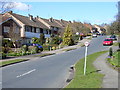
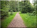
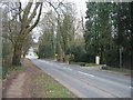
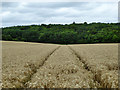
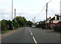
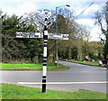
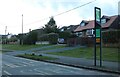
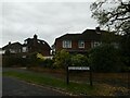
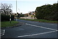
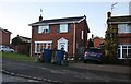
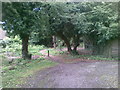
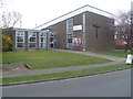
26 photos from this area
Area Information
Key information about the HP10 8BE including its size, population, and administrative classification.
- Area Type
- Postcode
- Area Size
- 1.3 hectares
- Population
- 1473
- Population Density
- 4593 people/km²
House Prices in HP10 8BE
18
Properties
£510,980
Average Sold Price
£178,225
Lowest Price
£767,500
Highest Price
Showing 18 properties
| Address | Type | Beds | Baths | Last Sale Price | Last Sale Date | |
|---|---|---|---|---|---|---|
| 49 Ashley Drive, Tylers Green, HP10 8BE | Semi-detached | 5 | 2 | £767,500 | Apr 2024 | |
| 43 Ashley Drive, Tylers Green, HP10 8BE | Semi-detached | 4 | 1 | £695,000 | Apr 2023 | |
| 50 Ashley Drive, Tylers Green, HP10 8BE | Semi-detached | 4 | 2 | £725,000 | Jul 2022 | |
| 46 Ashley Drive, Tylers Green, HP10 8BE | Retail | 4 | 1 | £695,000 | Apr 2022 | |
| 54 Ashley Drive, Tylers Green, HP10 8BE | house | - | - | £546,139 | Sep 2021 | |
| 34 Ashley Drive, Tylers Green, HP10 8BE | Semi-detached | 3 | - | £632,000 | Jan 2021 | |
| 36 Ashley Drive, Tylers Green, HP10 8BE | house | - | - | £470,000 | Sep 2010 | |
| 44 Ashley Drive, Tylers Green, HP10 8BE | house | - | - | £329,850 | Jul 2010 | |
| 48 Ashley Drive, Tylers Green, HP10 8BE | Semi-detached | - | - | £495,000 | Nov 2008 | |
| 41 Ashley Drive, Tylers Green, HP10 8BE | house | - | - | £485,000 | Sep 2007 |
Page 1 of 2
Energy Efficiency in HP10 8BE
Amenities
Schools
| Rank | School | Type | Entry gender | Ages |
|---|
Explore more schools in this area
Go to Schools tabDemographics
Household Size
Family (3-5 people)
most common
Accommodation Type
Houses
most common
Tenure
85
majority
Ethnic Group
White
most common
Religion
N/A
most common
Household Composition
N/A
most common
Age
47
median
Adults (30-64 years)
most common
Household Deprivation
N/A
with no deprivation
NS-SEC
45
in Lower managerial occupations
Explore more demographic insights in this area
Go to Demographics tabPlanning
Planning Constraints
- Flood RiskPremium
- Ramsar Wetland SitesPremium
- Area of Outstanding Natural BeautyPremium
- Protected Nature ReservePremium
- Protected WoodlandPremium