Area Overview for HP10 0QD
Photos of HP10 0QD
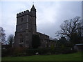
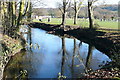
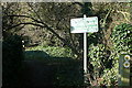
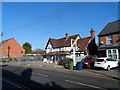
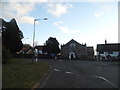
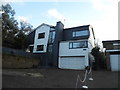
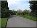
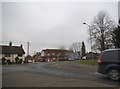
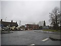
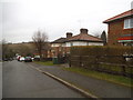
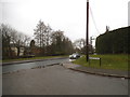
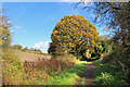
48 photos from this area
Area Information
Key information about the HP10 0QD including its size, population, and administrative classification.
- Area Type
- Postcode
- Area Size
- 4.5 hectares
- Population
- 1478
- Population Density
- 554 people/km²
House Prices in HP10 0QD
20
Properties
£1,079,886
Average Sold Price
£37,500
Lowest Price
£1,810,000
Highest Price
Showing 20 properties
| Address | Type | Beds | Baths | Last Sale Price | Last Sale Date | |
|---|---|---|---|---|---|---|
| Grangewood, Grange Drive, Wooburn Green, HP10 0QD | house | 6 | 3 | £1,720,000 | Mar 2024 | |
| Conkers, Grange Drive, Wooburn Green, HP10 0QD | Detached | 5 | 3 | £37,500 | Jan 2023 | |
| Fair Winds, Grange Drive, Wooburn Green, HP10 0QD | house | - | - | £1,018,250 | Jan 2022 | |
| Ban Tara, Grange Drive, Wooburn Green, HP10 0QD | Detached | 5 | - | £1,810,000 | Dec 2021 | |
| Kinglet House, Grange Drive, Wooburn Green, HP10 0QD | Detached | 5 | 4 | £1,150,000 | Oct 2014 | |
| Little Woodcote, Grange Drive, Wooburn Green, HP10 0QD | Bungalow | 4 | - | £875,000 | Jan 2014 | |
| Hatherley, Grange Drive, Wooburn Green, HP10 0QD | Detached | 5 | 5 | £1,218,000 | Dec 2013 | |
| Rempstone House, Grange Drive, Wooburn Green, HP10 0QD | house | 6 | - | £1,235,000 | Jan 2013 | |
| Fairwood, Grange Drive, Wooburn Green, HP10 0QD | Detached | 4 | 2 | £985,000 | Jun 2011 | |
| Woodgrange, Grange Drive, Wooburn Green, HP10 0QD | house | 6 | - | £1,550,000 | Jul 2010 |
Page 1 of 2
Energy Efficiency in HP10 0QD
Amenities
Schools
| Rank | School | Type | Entry gender | Ages |
|---|
Explore more schools in this area
Go to Schools tabDemographics
Household Size
Two person
most common
Accommodation Type
Houses
most common
Tenure
85
majority
Ethnic Group
White
most common
Religion
N/A
most common
Household Composition
N/A
most common
Age
47
median
Adults (30-64 years)
most common
Household Deprivation
N/A
with no deprivation
NS-SEC
50
in Lower managerial occupations
Explore more demographic insights in this area
Go to Demographics tabPlanning
Planning Constraints
- Flood RiskPremium
- Ramsar Wetland SitesPremium
- Area of Outstanding Natural BeautyPremium
- Protected Nature ReservePremium
- Protected WoodlandPremium