Area Overview for Fair Oak and Horton Heath
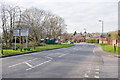
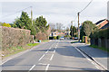
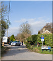
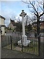
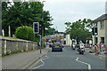
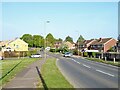
Photos of Fair Oak and Horton Heath


Area Information
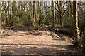
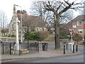
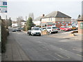
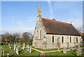
Living in Fair Oak and Horton Heath offers a settled life within a compact district of just over 10 square kilometres in England. You will find a neighbourhood defined by its small population of 1,122 residents, spread across a relatively low density of 106 people per square kilometre. This area stands apart from larger urban districts due to its limited footprint and intimate community scale. Daily life here revolves around proximity and a lack of overcrowding, creating an environment where residents likely know one another. The setting supports a quiet existence without the noise and congestion typical of major city centres. You can access local services and green spaces within short distances, benefiting from the town's manageable size. The district operates as a borough unitary ward, integrating administrative functions with local living conditions. This structure often means smoother local governance and responsive community management compared to more fragmented urban areas. Homebuyers considering this location should note the distinction between its residential character and the wider surrounding infrastructure. The area provides a stable base for those seeking a slower pace. There are no large industrial zones or heavy traffic corridors dominating the landscape, allowing residents to enjoy a clear view of their surroundings. This geographical advantage makes it an appealing choice for families or retirees who value space and tranquility. You gain a home in a place that prioritises population control and environmental preservation over rapid expansion.
- Area Type
- Parish
- Area Size
- 10.6 km²
- Population
- 1122
- Population Density
- 106 people/km²
Demographics
The community in Fair Oak and Horton Heath is distinguished by a significantly older population than the national average. Residents here have a median age of 70, which indicates a demographic heavily skewed towards retirees and older adults. You are looking at a neighbourhood where life expectancy and the need for proximity to healthcare likely drive much of the household composition. Almost the entire population falls into the older age category, which shapes the local culture and amenities. Home ownership defines the financial landscape for most residents, with an impressive 84% of homes held by owners rather than landlords. This high rate suggests strong financial stability among inhabitants and a lack of speculative investment properties. The accommodation stock is therefore likely to remain stable over time, with less turnover than in rental-heavy districts. Although specific data on ethnic diversity and religious affiliation is not publicly broken down for this ward, the homogeneity implied by the age and ownership figures points to a close-knit, traditional community. Deprivation levels in Fair Oak and Horton Heath appear to be low, given the high percentage of owner-occupied housing and the stable age profile. High ownership rates usually correlate with secure household incomes and lower dependency on social housing support. You can expect a cohesive society where long-term residents form the backbone of the local economy. This demographic profile creates a predictable environment where neighbours often assist one another. The area does not attract a transient workforce but builds on established roots.
Household Size
Accommodation Type
Tenure
Ethnic Group
Religion
Household Composition
Age
Household Deprivation
NS-SEC
Explore more demographic insights in this area
Go to Demographics tabPlanning
Planning Constraints
- Flood RiskPremium
- Ramsar Wetland SitesPremium
- Area of Outstanding Natural BeautyPremium
- Protected Nature ReservePremium
- Protected WoodlandPremium