Area Overview for GU9 8TH
Photos of GU9 8TH
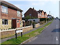
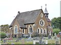
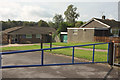
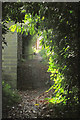
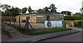
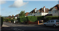
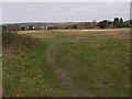
24 photos from this area
Area Information
Key information about the GU9 8TH including its size, population, and administrative classification.
- Area Type
- Postcode
- Area Size
- 6921 m²
- Population
- 1313
- Population Density
- 5271 people/km²
House Prices in GU9 8TH
14
Properties
£416,661
Average Sold Price
£179,950
Lowest Price
£650,000
Highest Price
Showing 14 properties
| Address | Type | Beds | Baths | Last Sale Price | Last Sale Date | |
|---|---|---|---|---|---|---|
| 101 Greenfield Road, Farnham, GU9 8TH | house | - | - | £650,000 | Nov 2023 | |
| 91A Greenfield Road, Farnham, GU9 8TH | Bungalow | - | - | £460,000 | May 2022 | |
| Silver Birch, 89B Greenfield Road, Farnham, GU9 8TH | Bungalow | - | - | £530,000 | Sep 2021 | |
| 109 Greenfield Road, Farnham, GU9 8TH | Detached | 4 | 2 | £600,000 | Dec 2017 | |
| Farview, 89C Greenfield Road, Farnham, GU9 8TH | Detached | 4 | 2 | £540,000 | Feb 2014 | |
| 107 Greenfield Road, Farnham, GU9 8TH | house | - | - | £315,000 | Jul 2009 | |
| Dorma, 89D Greenfield Road, Farnham, GU9 8TH | Semi-detached | - | - | £245,000 | May 2006 | |
| 99 Greenfield Road, Farnham, GU9 8TH | Detached | - | - | £230,000 | May 2004 | |
| 97 Greenfield Road, Farnham, GU9 8TH | Detached | - | - | £179,950 | May 2001 | |
| Wisteria Cottage, 93 Greenfield Road, Farnham, GU9 8TH | Detached | 3 | 1 | - | - |
Page 1 of 2
Energy Efficiency in GU9 8TH
Amenities
Schools
| Rank | School | Type | Entry gender | Ages |
|---|
Explore more schools in this area
Go to Schools tabDemographics
Household Size
Family (3-5 people)
most common
Accommodation Type
Houses
most common
Tenure
54
majority
Ethnic Group
White
most common
Religion
N/A
most common
Household Composition
N/A
most common
Age
47
median
Adults (30-64 years)
most common
Household Deprivation
N/A
with no deprivation
NS-SEC
33
in Lower managerial occupations
Explore more demographic insights in this area
Go to Demographics tabPlanning
Planning Constraints
- Flood RiskPremium
- Ramsar Wetland SitesPremium
- Area of Outstanding Natural BeautyPremium
- Protected Nature ReservePremium
- Protected WoodlandPremium